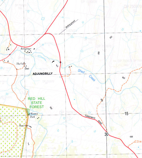

Adjungbilly 1-25,000 NSW Topographic Map
Price range: $16.95 through $31.95
Description:
8527-1-N NOW AVAILABLE PRINT ON DEMAND
Adjungbilly 85271n 1-25,000 scale NSW Topographical map is used for Walking, 4WD, Fishing, Camping, Motorcycle, both On and Off Road, Gold Prospecting and for those simply going for a family weekend drive.
Topographical maps show not only Contours of the Terrain but also Walking Tracks, Sealed and Unsealed Roads, Rivers, Creeks, Lakes, Historical Point of Interest, Old Mine Sites and National and State Park areas.
 We can Now LAMINATE and fold your map for $12.00. Just click on the image and add to the Trolley
This map includes the following localities: Adjungbilly Adjungbilly Creek Blind Creek Bongongo Public School Boundary Creek Cotway Creek Darbalara Gatleys Creek Graham Creek Kangaroo Kangaroo Mountain Cullicow Little Creek Long Swamp Creek Mud Wall Creek Murphys Creek Oaky Creek O’Briens Creek One Head of Old Jeremiah Creek Paddy Rock Hill Paddys Rock Hill Paling Yard Creek Parson Parson Mountain Parsons Creek Rocky Range Rough Yard Creek Sandy Creek Saw Mill Creek Serpentine Range Serpentine Ridge Splitters Creek Spring Creek Wagara Bungongo Bungongo State Forest Burnt Hurdle Creek Gildarts Hut Kells Hill Gildarts Creek Shed Creek Couragago
| Scale: | 1:25000 |
| Latitude Range: | 35 00.0 S – 35 07.5 S |
| Longitude Range: | 148 15.0 E – 148 30.0 E |
| Approx Print Size: | 0.56m X 1.11m |
| Projection: | Transverse Mercator |