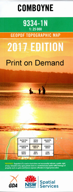
Comboyne 1-25,000 NSW Topographic Map
$16.95 – $31.95
Description:
Comboyne 1-25,000 NSW Topographic Map 93341N Now Print on Demand
Locations within this Map
Stumpy Flat Swans Feather Bunya Ellaboon Coachers Creek Strathellan White Hills Parmcourt Redstead Comboyne Allans Falls Bald Rock Big Creek Bona Vista Falls Boorganna Nature Reserve Mount Botumboin Branch Creek Branch Gully Brinawa Brinawa Creek Bulga Bulga Creek Bulga Plateau Bulga State Forest Bulgong Caves Gully Cedar Creek Coaches Creek Colling Pass Comboyne Plateau Comboyne Public School Comboyne Showground Comboyne West Crayfish Gully Elands Public School Electric Light Falls Ellenborough Falls Ellenborough Rapids Glenwarrin Innes Innes View Jackys Creek Kalobungung Creek Camden Haven RiverNorthern Branch Comboyne West Public School Crayfish Creek Glenwarrin Public School Karaghine Creek Kings Head Konunk Kosh Kosh Little Creek Long Ridge Little Plain Creek Little Plain Sportsground Little Toms Creek Little Upsalls Gully Little Upsel Creek Mount Mickey Doran Middle Gully Mumfords Creek Myall Myall Creek Pitt Gully The Rapids Rawson Falls Rays Creek Rock Creek Running Gully Sandy Knob Sawyer Creek Spring Creek Stennetts Gully Stony Creek Sugarloaf Mountain Tea Kettle Creek Thone River Toms Creek Toms Creek Public School Upsalls Creek Upsel Creek Weelah Nature Reserve Diamond Falls Bulli Gully Mount Bulli Bunnoo Bunnoo River Mount Burranbullitt Pioneer Park Bulga Forest Doyles River Horehound Mountains Plateau Comboyne South Branch Ellenborough River
| Scale: | 1:25000 |
| Latitude Range: | 31° 30.0′ S – 31° 37.5′ S |
| Longitude Range: | 152° 15.0′ E – 152° 30.0′ E |
| Datum: | GDA 94 |
| Approx Print Size: | 0.56m X 1.11m |
| Publication Date: | 2013 |
Now Print on Demand
Laminate and folded this NSW Topographical map $12.00 see below.


