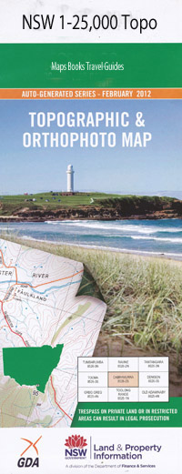
Abington 1-25,000 NSW Topographic Map
$16.95 – $31.95
Description:
9137-3-N
Abington 9137-3-n 1-25,000 scale NSW Topographical map is used for Walking, 4WD, Fishing, Camping, Motorcycle, both On and Off Road, Gold Prospecting and for those simply going for a family weekend drive.
Topographical maps show not only Contours of the Terrain but also Walking Tracks, Sealed and Unsealed Roads, Rivers, Creeks, Lakes, Historical Point of Interest, Old Mine Sites and National and State Park areas.
This map includes the following localities: Nuandle Winscombe Bargibal Waverley Shangrila Abington Brooksby Glanmire South Winscombe Haystack Newhaven Stony Batter North Glanmire South Colomendy Elemar Camerons Creek Stony Batter Fairfield Merrifield Box Hill Back Creek Bakers Creek Barlow Billys Hill Black Gully Bradley Cave Mountain Chapman Collenya Hills Crow Trap Hill Crystal Hill Deep Creek Fishers Hole Hacketts Flat Haystack Creek Haystack Mountain The Deep Gully Devils Mountain Hacketts Farm The Haystack King Johns Creek Lambing Creek Lambing Gully Little Haystack Little Haystack Mountain Odells Hill Odells Mountain Potholes Creek Pot Holes Creek Razorback Mountain Sawpit Hills Sheep Station Creek Stringybark Hill Thunderbolt Dam Wongwibinda Cemetery Yellow Gully Dry Creek Abington Sportsground Camerons Creek Sportsground Devils Hill
| Scale: | 1:25000 |
| Latitude Range: | 30 15.0 S – 30 22.5 S |
| Longitude Range: | 151 00.0 E – 151 15.0 E |
| Approx Print Size: | 0.56m X 1.11m |
| Projection: | Transverse Mercator |

