Afterlee 1-25,000 NSW Topographic Map
Price range: $16.95 through $31.95
Description:
9440-1-N Print on Demand
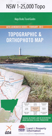
Afterlee 94401n 1-25,000 scale NSW Topographical map is used for Walking, 4WD, Fishing, Camping, Motorcycle, both On and Off Road, Gold Prospecting and for those simply going for a family weekend drive.
Topographical maps show not only Contours of the Terrain but also Walking Tracks, Sealed and Unsealed Roads, Rivers, Creeks, Lakes, Historical Point of Interest, Old Mine Sites and National and State Park areas.
This map includes the following localities: The Gap Carribee The Meadows Afterlee Afterlee Public School Bells Bay Ben Lydia Range Ben Lydia Ridge Black Horse Creek Chestnut Horse Creek Cob O’Corn Weir Cob O’Corn Creek Eden Creek Eden Creek Falls Ettrick Geneva Ghinni Ghi Gorge Creek Grasstree Hill Greenwood Lagoon Happy Valley Helmet Ridge The Helmet Hermits Peak Horse Station Creek Grass Tree Knob Iron Pot Creek Public School Kempston Kilgra Kilgra Railway Station Little Gorge Creek Long Gully New Park O’Donnell Creek Peter Finn Creek Phelps Creek Poor Bullock Range Poor Bullock Ridge Smiths Creek South Toonumbar State Forest Swamp Creek Toonumbar Toonumbar Dam Toonumbar Public School Toonumbar State Forest Upper Eden Creek Upper Eden Creek Public School Upper Eden Creek Weir Wiangaree Wiangaree Public School Wiangaree Railway Station Wyndham Wyndham Creek Wyndhams Creek Wyneden Ettrick Nature Reserve West Wiangaree
| Scale: | 1:25000 |
| Latitude Range: | 28 30.0 S – 28 37.5 S |
| Longitude Range: | 152 45.0 E – 153 00.0 E |
| Approx Print Size: | 0.56m X 1.11m |
| Projection: | Transverse Mercator |