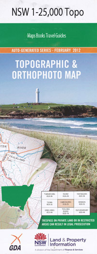
Allynbrook 1-25,000 NSW Topographic Map
$16.95 – $31.95
Description:
9233-3-N Print on Demand
Allynbrook 92333n 1-25,000 scale NSW Topographical map is usedfor Walking, 4WD, Fishing, Camping, Motorcycle, both On and Off Road, GoldProspecting and for those simply going for a family weekend drive.
Topographicalmaps show not only Contours of the Terrain but also Walking Tracks, Sealed andUnsealed Roads, Rivers, Creeks, Lakes, Historical Point of Interest, Old MineSites and National and State Park areas.
This map includes the following localities: Brae Eldersfield Be-Lulie Lochiel Bellgrave Braeside Brooklyn Summer Hill Elengor Wallowara Mulconda Durham Grove Kellington Grove Anns Grove Chumbra Durham Vale Wild Wood Myall Valley View Allynbrook Avenal Ant Creek Bacons Creek Bandon Grove Bandon Grove Park Bandon Grove Public School Belgrave Cemetery Bendolba Black Camp Creek Blackboy Creek Bingleburra Bonnington Creek Bonnington Park Brandy Creek Brownmore Carlton Gully C.B. Alexander Agriculture College Chads Creek Dave Sands Reserve Dusodie Elwari Elwari Mountain Fosterton Hill Green Wattle Gully Hallidays Creek Halton Holywell Carlton Creek Dave Sands Memorial Fosters Mountain Green Wattle Creek Left Branch of Camp Creek Left Branch Quart Pot Creek Limestone Creek Little Quart Pot Creek Little Quart Pot Gully Longbush Creek Longbush Gully Lords Pillar Manns Hill Mens Munni Munni Cemetery Munni Gully Myall Creek Native Dog Creek Mount Olivet Mount Olivett Paterson River Peach Tree Creek Peach Tree Gully The Pillar Quart Pot Creek Shed Creek Shed Gully Sheep Station Creek Spotted Gum Stony Creek Taylors Creek Three Trees Tillegra Underbank Wallarobba Range Waribeloc Creek Water Hole Creek Waterhole Creek Waterhole Gully Mount Windeyer Windeyers Creek Windeyers Gully Die Happy Creek Yimmang River Bullee Coggee Creek Dry Gully Dry Creek Mount Butterwicki Ecclestone Die Happy Jack Creek Neilson Creek Forster Gully Marked Apple
| Scale: | 1:25000 |
| Latitude Range: | 32 15.0 S – 32 22.5 S |
| Longitude Range: | 151 30.0 E – 151 45.0 E |
| Approx Print Size: | 0.56m X 1.11m |
| Projection: | Transverse Mercator |
Laminated and folded NSW Topographical map $12.00 see below

