California Map ITMB
$24.95
1 in stock
Description:
California Map ITMB
We’re taking a big leap forward in publishing our first-ever map of California. To date, we’ve only tackled Alaska, Florida, and Hawaii. California is as big as most countries and with a population of over 30,000,000 people, it is obviously a desirable travel destination. What can one say to promote a map of California? Well, the entire Thomas Bros. line has been discontinued by Rand McNally and the Rand map itself is threatened with extinction as Rand moves away from marketing paper maps; our map is a lot easier to read than Benchmark’s, it’s North American produced by people who know and understand California (as opposed to European publishers), and it is the first large-sheet size map ever of California on durable plastic paper. Of course we hope that we’ve spelled all the towns correctly and have all the roads marked properly, and we’ve marked in as many touristic attractions as we can fit onto the artwork.
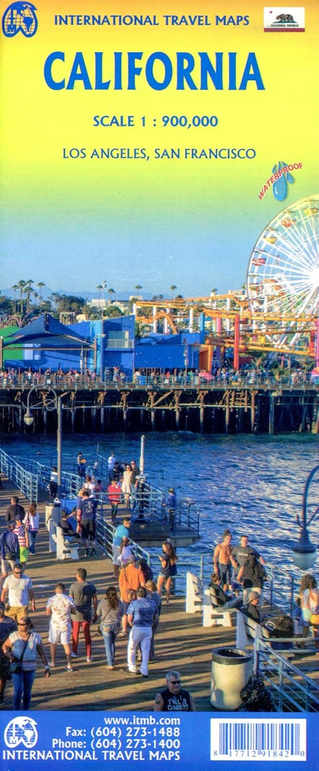
California is a huge and densely populated state; one of the most important states in America (just ask Obama!). The map is an amazing 78”long by 28”wide (don’t ask me to translate that into centimetres, please), printed double-sided and is, I hope, accurate, easy to read and use, and attractive. It also includes inset maps of Hollywood, Los Angeles, Santa Monica, and San Francisco. Sorry, Fresno, we ran out of room. It is also the first of a series of regional state maps coming from ITMB in the months to come.
The Pacific Northwest states of Washington, Oregon, and Idaho are next.
Inset Street Maps of Los Angeles and San Francisco
Edition 2024
ISBN 9781771291842