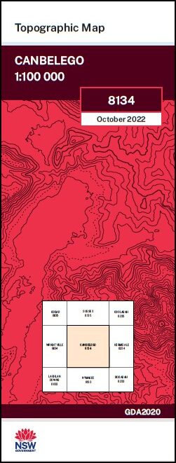
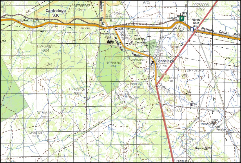
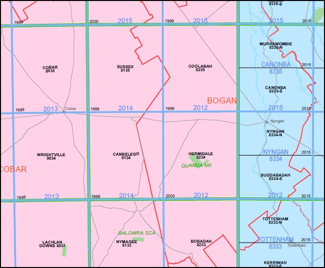
Canbelego 1-100,000 NSW Topographic Map
$16.95 – $28.95
Description:
Canbelego 1-100,000 NSW Topographic Map 8134 Now Print on Demand
Locations within this Map
Mema Yanda Coonara Poraka Meryula Hermitage Kuralee The Lease Elliston Rest Downes Fairview The Rookery Kopyje Koree Mount Lewis Linera Sarona Downes Karinya Rosevale Hermitage Plains Mafeesh Elaine Babinda Kurrajong Hartwood Nymagee Hillcrest Girilambone State Forest Whitbarrow Creek Yanda Creek Barrow State Forest New Tank Knights Tank Booroomugga Tank Pine Tank Cullenwards Tank Kennedys Tank Victoria Tank Yanboon Tank Fairview Tank Kurrajong Tank Scoop Tank Mount Kalumba Mulga Creek Glenns Tank Conways Tank Blackfellows Tank Princess Tank Gilgies Adams Barton Buppe Canbelego Coree Dunstan Ellis Fisher Flinders Johnston Keira Restdown Scott Bee Cohn Lambrigg Rochford Geweroo Bulga Barrow Whinfell Fair View Garner Ives Killen Nurri Priory Scoot Seary Stubbs Meryula Station Boppy Mountains Station Boppy Mountain Mount Boppy Buppe Mountain Florida Station Pooraka Siding Mount Nurri Rest Downs Homestead Babinda Tank Babinda Hill
| Name: | Canbelego |
| Publisher: | New South Wales Government |
| Scale: | 1:100000 |
| Latitude Range: | 31° 30.0′ S – 32° 00.0′ S |
| Longitude Range: | 146° 0.0′ E – 146° 30.0′ E |
| Datum: | GDA 2020 |
| Approx Print Size: | 0.56m X 0.56m |


