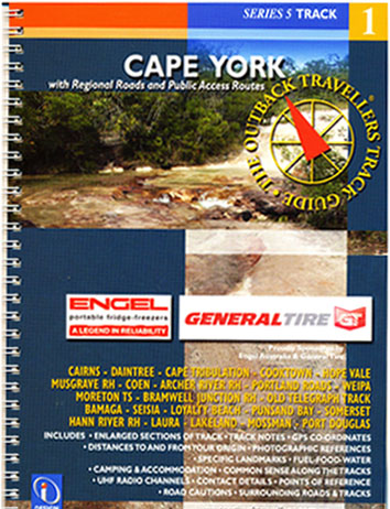
Cape York Series 5 Track 1 Design Interaction
Description:
With Regional Roads, Public Access Routes, Tourist Information, Historic Snippets, Fuel, Food, Water, landmarks, Elevations, Camping, Accommodation, GPS Waypoints & much more.
Using photography, track notes and mapping. The Outback Travellers Track Guides are a companion to sheet maps, offering a closer look at what is out there, where to find it and how to get there safely. With the aid of sectioned, colour-coded track information, cautions along the track are brought to the travellers attention to help avoid unnecessary problems. hazards in the form of crests and dips in the roads, creeks, floodways, river crossings and tight corners are highlighted to avoid potential accidents.
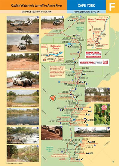
Strip maps break the route down into identifiable sections. Spiral binding allows the book to be folded back for ease of navigation. each strip map is accompanied by a selection of views available along that stretch of track. The photographs are cross-referenced to the exact location on the map. GPS waypoints are given for important locations and junctions.
24 – 32 pages. 250mm X 180mm. Colour photographs and maps.
Series Five Track 1
Book 1 – Cape York. 1st Edition 2010
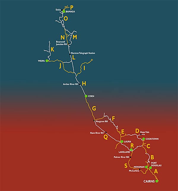
Including: Cairns, Daintree, Cape Tribulation, Cooktown, Hope Vale, Musgrave RH, Coen, Archer River RH, Portland Roads, Weipa, Moreton TS, Bramwell Junction RH, Old Telegraph Track, Bamaga, Seisia, Loyalty Beach, Punsand Bay, Somerset, Hann River RH, Laura, Lakeland, Mossman, Port Douglas.
ISBN: 9780980515862


