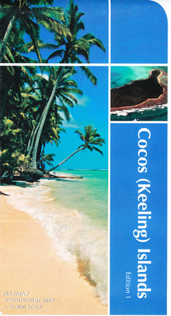
Cocos Keeling Islands Map Geoscience Australia
$14.95
Description:
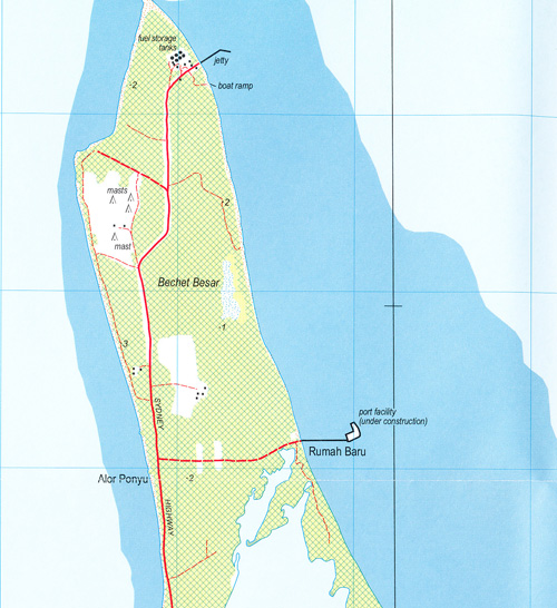
A contoured (interval 10m) general reference map of the island showing settlement, mining areas, railways, roads and tracks of the Cocos / Keeling Islands.
| Publisher | Geoscience Australia |
|---|---|
| Size | 125 x 225 x 5mm |
| Format | Paper |
| Scale | 1:25 000 |
| ISBN | 9314231000465 |
Read More


