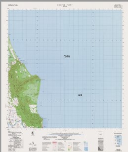
Cooper Point 1-50000 Topographic Map 8163-3 QLD
$14.95 – $24.95
Description:
Print on Demand
Locations within this Map
Flying Fish Point Bramston Beach Alligator Point Mount Annie Mount Arthur Catelan Creek Coconut Point Cooper Creek Cooper Point Mount Cooper Daradgee Ella Bay Ella Bay National Park Forrest Island Heath Point Joyce Creek Mount Maria Middle Creek O’Malleys Creek Mount Peter Rocky Point Seymour Range Smoko Creek Victory Creek Worth Creek Wyvuri Swamp The Twins The Sisters Garradunga Jubilee Heights Sundown Cassowary Coast Regional Council Wanjuru Miller Hill
| Name: | Cooper Point |
| Publisher: | Geoscience Australia (Australian Government) |
| Scale: | 1:50000 |
| Latitude Range: | 17° 15.0′ S – 17° 30.0′ S |
| Longitude Range: | 146° 0.0′ E – 146° 15.0′ E |
| Projection / Datum: | Universal Transverse Mercator, GDA94 or WGS84 |
| Approx Print Size: | 0.56m X 0.56m |
| Publication Date: | 1-Jun-86 |
Read More


