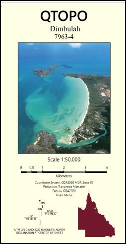
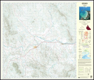
Dimbulah 1-50000 Topographic Map 7963-4 QLD
Price range: $15.95 through $27.95
Description:
Dimbulah 1-50000 Topographic Map 7963-4 QLD
Print on Demand
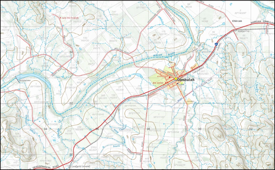
Locations within this Map
Northcote Wheatley Dimbulah Mount Angus Big Creek Boonmoo Borneo Bruce Weir Carbonate Creek Cattle Creek Chinaman Creek Colledge Creek Craig Creek Diplock Creek Mount Eagle Eureka Creek Five Mile Creek Fumar Gorge Creek Hopscotch Creek Mount Ironstone Jacksons Creek Leadingham Leadingham Creek Leafgold Leafgold Weir Lemonside Malones Gap Masterton McLeod Hills Mount McLeod Muldiva Crossing Murphys Creek Mutchilba New Northcote Oaky Creek Pinnacle Creek Pinnacle Hill Mount Pinnacle Price Creek Sandy Creek Sawpit Creek Seward Creek Solanum Spring Creek Twelve Mile Creek Washaway Creek Mount White Chircan Parada Piemonte Atherton Plateau Murphy Creek
| Name: | 7963-4 |
| Publisher: | Queensland Government |
| Scale: | 1:50,000 |
| Latitude Range: | 17° 0.0′ S – 17° 15.0′ S |
| Longitude Range: | 145° 0.0′ E – 145° 15.0′ E |
| Projection / Datum: | Universal Transverse Mercator, GDA 94 |
| Approx Print Size: | 0.56m X 0.56m |
You may also like…
-
Atherton 1-50,000 Topographic Map 7963-2 QLD GA
Price range: $14.95 through $24.95Select options This product has multiple variants. The options may be chosen on the product page -
Atherton 1-250,000 Topographic Map GA
Price range: $15.95 through $27.95Select options This product has multiple variants. The options may be chosen on the product page