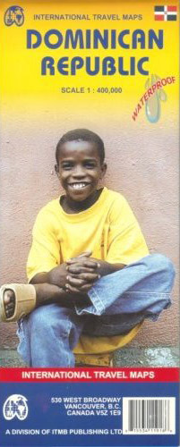
Dominican Republic Map ITMB
Description:
Dominican Republic Map ITMB folded road and travel map in color. Scale 1:400,000/1:350,000. Distinguishes roads ranging from highways to other roads. Legend includes tracks, railways, ferry routes, coral reefs, national parks, check-points, airports/regional airports, airfields, passes, botanical gardens, sites of natural interest, ruins, historical vestiges, churches, golf courses, hotels, palaces/castles, beaches, diving sites, fishing sites, wrecks, scenic viewpoints, museums. Includes inset map of Santo Domingo and Port-au-Prince.
- Map: 2 pages
- Publisher: ITMB Publishing; 4 edition (February 1, 2007)
- Language: English
- ISBN-10: 1553411919
- ISBN-13: 978-1553411918
Read More

