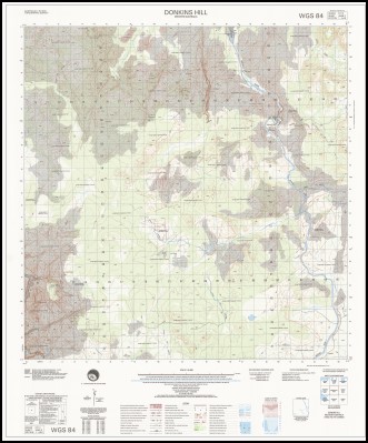

Donkins Hill 1-50,000 Topographic Map 4068-3 WA
Price range: $15.95 through $27.95
Description:
Donkins Hill 1-50000 Topographic Map 4068-3 WA Print on Demand
Locations within this Map
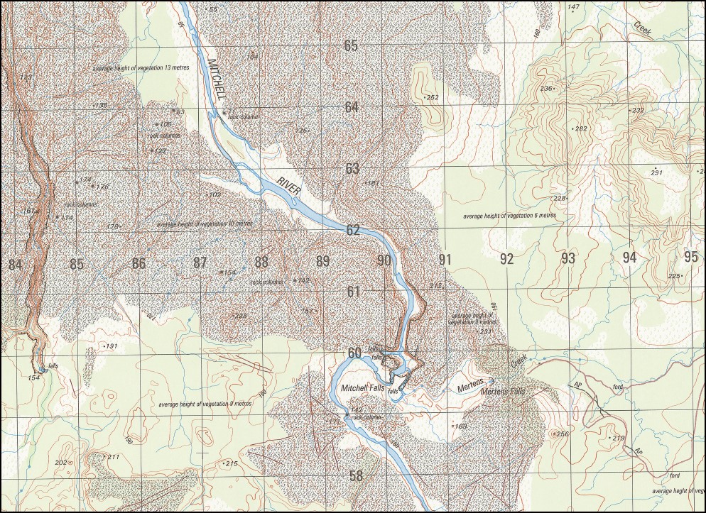
Camp Creek Donkins Hill Mertens Creek Mertens Falls Mitchell Falls Donkin Hill
| Name: | Donkins Hill |
| Publisher: | Geoscience Australia (Australian Government) |
| Scale: | 1:50,000 |
| Latitude Range: | 14° 45.0′ S – 15° 00.0′ S |
| Longitude Range: | 125° 30.0′ E – 125° 45.0′ E |
| Projection / Datum: | Universal Transverse Mercator, GDA94 or WGS84 |
| Approx Print Size: | 0.56m X 0.56m |
| Publication Date: | 1 June 2003 |
Read More
You may also like…
-
Prince Regent 1-250,000 Topographic Map
Price range: $15.95 through $30.95Select options This product has multiple variants. The options may be chosen on the product page -
Mitchell River 1-50000 Topographic Map 4068-4 WA
Price range: $15.95 through $27.95Select options This product has multiple variants. The options may be chosen on the product page