
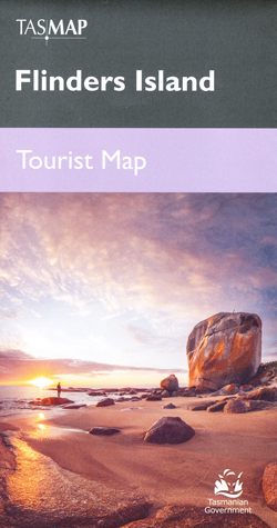
Flinders Island 1-100,000 Topographic Map Tasmap
Description:
Replaced by the Flinders Island Tourist Map or Topographic Map Set Below
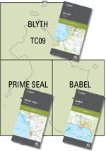 Click on the Images for more information
Maps show both man-made and natural features. Roads are symbolized to reflect their surface, accessibility and importance to the State network. Distances between major road intersections and the portrayal of selected addressed buildings aid vehicle navigation. All major reserved land and foot tracks are clearly defined. The shape of the ground is depicted by using a combination of contours (at a 20 metre vertical interval) and hillshading. Both forested and non-forested areas are shown.
Out of Print
|
||||||||||||||||
Read More