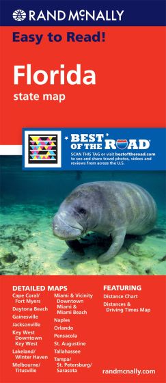
Florida State Map Rand McNally
Description:
Florida State Map Rand McNally Easy To Read State Folded Map is a must-have for anyone traveling in and around Florida, offering unbeatable accuracy and reliability.
- Regularly updated, full-color maps
- Larger map with a bigger type size than the Rand McNally Folded Map
- Clearly labeled Interstate, U.S., state, and county highways
- Indications of parks, points of interest, airports, county boundaries, and more
- Mileage and driving times map
- Detailed index
- Convenient folded size
| ISBN | 9780528881176
070609881171 |
| Coverage Area | Detailed maps of: Daytona Beach, Fort Myers/Cape Coral, Gainesville, Jacksonville, Key West, Downtown Key West, Lakeland/Winter Haven, Melbourne/Titusville, Miami & Vicinity, Downtown Miami & Miami Beach, Naples, Orlando, Pensacola, St. Augustine, Tallaha |
Read More