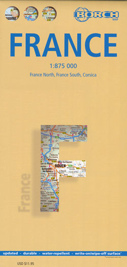
France Map Borch
$24,950.00
2 in stock
Description:
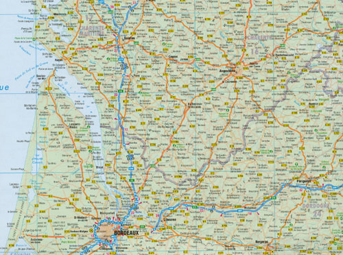
| Our soft-laminated folded map of France in the 6th edition shows: France North 1:875 000, France South 1:875 000, Corsica 1: 875 000, France administrative, Europe time zones. Borch Maps are easy to fold, durable and water-repellent with a wipeable surface. Borch Maps show hotels, museums, monuments, markets, public transport, top sights and points of interest, useful statistics, conversion charts for temperatures, weights and measurements, climate charts showing temperatures, sunshine hours, precipitation and humidity, overview maps, time zones, and much more… |
| France, one of the largest countries in Western Europe, is bordered by the English Channel, the North Sea and the Benelux countries to the north. To the East the Rhine River creates a natural border, as do the mountains toward Switzerland and Italy down to the shores and picturesque fishing villages of the Mediterranean coast. The majestic Pyrenees Mountains separate France from its southerly neighbour, Spain. Rugged, beautiful coastal regions border the Atlantic Ocean to the west. La Republique francaise is France’s official name and the French are a democracy-loving people whose ideals are clearly articulated in the famous slogan of the French Revolution: “Liberty, Equality, Fraternity”. Besides being a highly-developed country with the fifth-largest economy in the world, France is the worlds most popular international tourist destination, boasting more than 80 million foreign tourists annually. Diverse landscapes and leisure, cultural highlights, exquisite fashions and perfumes, fine food and wines – make France an unforgettable destination! |
Scale: ISBN 13: Map Size: Edition: |
06th edition 2010 |
| Detailed Maps: |
France Nord 1:875 000, France Sud 1:875 000, Corse 1:875 000, France administrative, Europe time zones
|
ISBN: 9783866093485
Read More


