
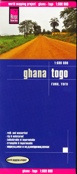
Ghana and Togo Map Reise
$25.95
1 in stock
Description:
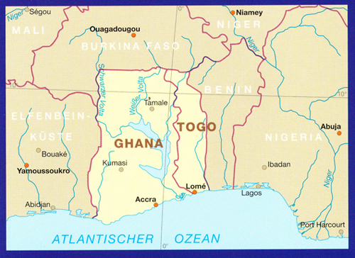
Ghana and Togo at 1:600,000 on an indexed, waterproof and tear-resistant road map with topographic and tourist information, published by Reise Know-How as part of their highly acclaimed World Mapping Project. The map is double-sided to provide the best balance between a good scale and a convenient size sheet.
The map divides the two countries north/south with a good overlap between the sides. Topography is indicated by altitude colouring with spot heights and names of mountain ranges; national parks and wildlife sanctuaries are prominently highlighted. Road information includes seasonal tracks and indicates intermediate driving distances on main and secondary roads. Locations of petrol stations and border crossings are also marked. Other transport details include railways and local airfields. Internal administrative boundaries are shown with names of the provinces. Symbols indicate various places of interest including INESCO World Heritage sites, and the map also shows locations with campsites or other tourist accommodation. The map has a latitude and longitude grid at intervals of 30’ and an index of localities. Map legend includes English.