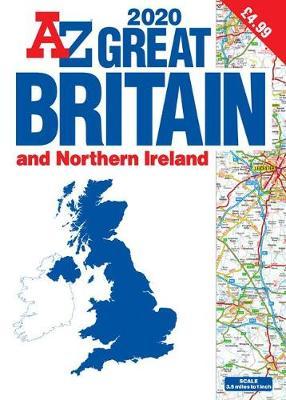
Great Britain A3 Atlas A-Z 2020
Description:
This A-Z map of Great Britain and Northern Ireland is a full colour, large scale, paperback publication approximately A3 in size.
*Fully updated for 2020
*89 pages of clear detailed road mapping of Great Britain at a map scale of 3.5 miles to 1 inch
*Double page coverage of Northern Ireland at 6 miles to 1 inch
*Route planning maps
*Mileage chart with average journey times
*Information on motorway junctions with limited interchanges
*Channel Tunnel terminus maps
*Index to cities, towns, villages, hamlets and major destinations
*Map reference information also in French and German
Instantly recognizable and easy to use, A-Z road mapping includes the following features:
*Clear standard road classification colours for easy identification
*Full motorway junction detail
*Under construction and proposed roads
*Primary route destinations
*Service areas
*Selected truckstop locations
*National and county boundaries
*A wide range of tourist and ancillary information, including Blue Flag Beaches
Offering excellent value, this publication brings together a good map scale in a large book size.
· Format Paperback 120 pages
· Dimensions 280 x 390 x 8mm 575g
· Publication date 03 May 2019
· Imprint Geographers’ A-Z Map Co Ltd
· Publication City/Country United Kingdom
· Language English
· Edition Statement 2nd edition
· ISBN10 1782572724
· ISBN13 9781782572725