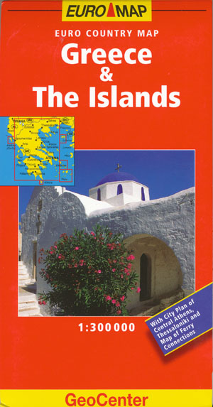
Greece and the Islands Map Geocenter
Description:
This map of Greece and the Islands Geocenter is at a scale of 1-300,000 and is both informative and easy-to-use. This cartography is ideal for travelling within the country and its city plans of Athens, Thessaloniki, Haraklion and Rhodes are ideal for day-to-day navigation around the key cities. This updated cartography now features grid references in the margin to aid quicker orientation.
Additional colour changes to the mapping make transport networks clearer than before. With a legend in 8 languages, this is a comprehensive and indispensible road map. Tourist information, distance chart, places of interest and a comprehensive index booklet are all featured. Information is provided on hotels, restaurants, museums, theatres, parks and gardens, with tourist attractions clearly indicated and public transport systems marked.
- Paperback: 1 pages
- Publisher: Mairs Geographischer Verlag,Kurt Mair (9 July 2008)
- Language English
- ISBN-10: 9783829766081
- ISBN-13: 978-3829766081
- ASIN: 3829766084
- Product Dimensions: 24.9 x 11.7 x 3.8 cm


