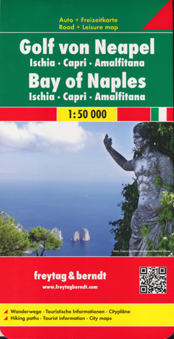
Gulf of Naples Map Freytag and Berndt
$25.95
Description:
Gulf of Naples Map Freytag and Berndt
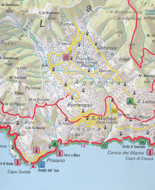
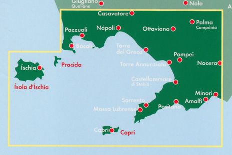
Two-sided, folded road & tourist map of the Bay of Naples region of Italy features shaded-relief coloring to depict topography. Main map shows the coastal area from Pozzuoli to Amalfi, including the islands of Procida and Capri.
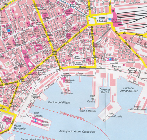
Reverse side has insets of the Island of Ischia (Isola d’ Ischia) and the Island of Capri (Isola di Capri) and street plans of Sorrento, Naples (Napoli), Pomei, Amalfi, Capri, and Ischia Ponte. Map shows roads, ferry lines, places of interest, beaches, campgrounds, parks, natural features, scenic points, marinas, airports, distances in kilometers. Legend in German, English, French, Italia
- Publisher : Freytag-Berndt
- Language : English, French, Italian, German
- ISBN-10 : 3707901777
- ISBN-13 : 9783707901771
- Dimensions : 13 x 0.9 x 25.6 cm
Read More


