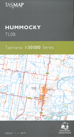
Hummocky 1-50,000 Topographic Map Tasmap
$13.95
1 in stock
Description:
Hummocky 1-50,000 Topographic Map Tasmap
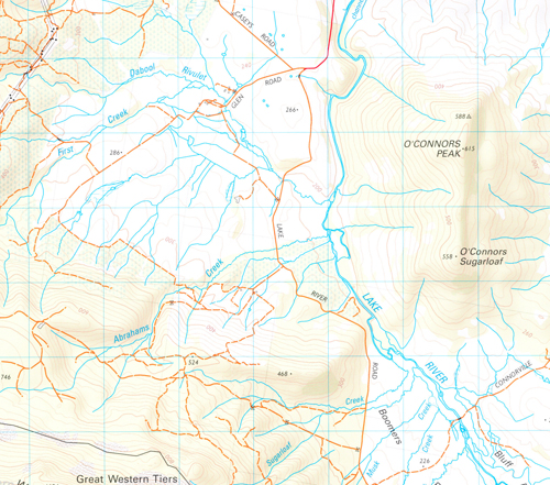
The design of the 1:50 000 Map Series provides a clear and accurate portrayal of topographic information, with symbols and map content giving enhanced depiction of buildings, hill shading and a simplified classification of vegetation.
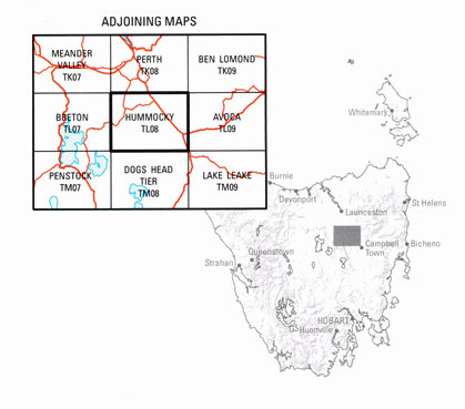
The area of this map consists predominately of agricultural lands growing crops such as poppies and vegetables and farming sheep and cattle. In the heart of these agricultural lands lies the small historical town of Cressy, named after a rural company known as the “Cressy Establishment”, and established in 1848 to service the surrounding industries. Today it is known as the “Gateway to Trout Fishing Paradise”, hosting the annual Tasmania Trout Expo. Brumbys Creek and Macquarie, Lake and Liffey rivers are popular areas for trout fishing enthusiasts. The Midland Highway, also known as the Heritage Highway, is featured on the map passing through the small historical towns of Conara, Cleveland and Epping Forest. Symmons Plains raceway attracts motor car racing enthusiasts both locally and nationally.
Product Number: |
TL08 |
ISBN |
9318923027761 |
Edition: |
1 |
Production Year: |
2019 |
Datum: |
Geocentric Datum of Australia 1994 (GDA94) |
Scale: |
1:50000 |


