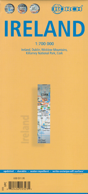
Ireland Map Borch
$24.95
2 in stock
Description:
Ireland Map Borch
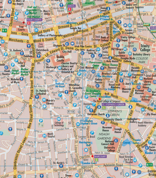
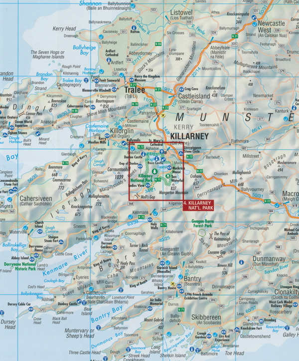
Folded road and travel map in color. Scale 1:700,000. Distinguishes roads ranging from expressways to secondary roads. Legend includes international/regional airports, commutertrain (DART), sights, museums, monuments, churches, monasteries, castles, ruins, Megalithic monuments, , golf courses, bus stations, youth hostels, camping sites, viewpoints, national parks, nature reserves, hotels, markets. Includes inset map of Dublin (1:15,000), Wicklow Mts. (1:350,000), Killarney Nat’l Park (1:100,000), Cork (1:8,000). Climate charts show the average daily temperatures, humidity, hours of sunshine and precipitation for each month.
- Publisher : Borch
- Language : English, Spanish, French, Italian, German
- Map : 2 pages
- ISBN-10 : 3866093233
- ISBN-13 : 9783866093232
- Dimensions : 11 x 0.4 x 24.3 cm
Read More


