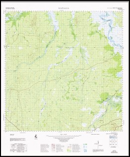
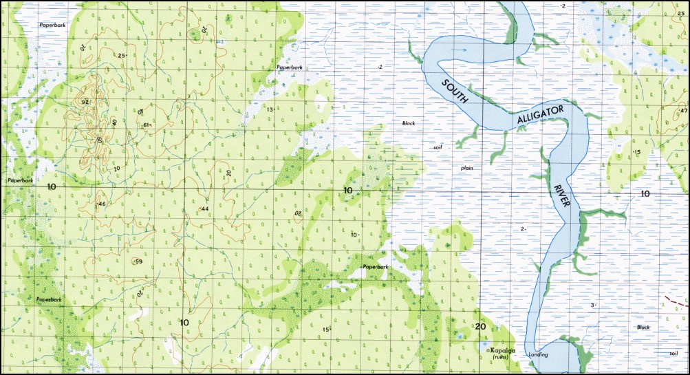
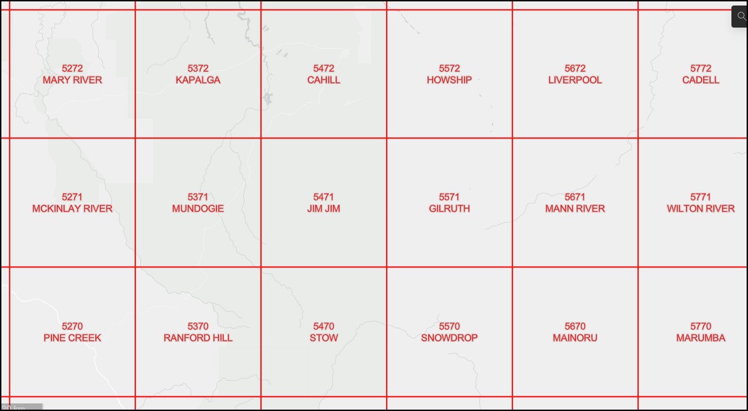
Kapalga 1-100,000 Topographic Map 5372 NT
$14.95 – $26.95
Description:
Kapalga 1-100,000 Topographic Map 5372 NT Print on Demand
Locations within this Map
Alligator Billabong Anggardabal Billabong Banana Creek Big Swamp Biku Biruk Burlkinj Cole Spring CSIRO Kapalga Field Research Station Flying Fox Creek Four Mile Hole Four Mile Hole Camping Area Gabarlgu Gaden Springs Galiligu Gnarl-Ah-Rogie Gu-Ngalarr-Ngalarr-Rokidj Ironstone Creek Kakadu Kakadu Northern Entrance Station Kapalga Kuwarlicarlk Naramu Camp Ngdrrababa One Horse Creek Swamp Orange Creek Red Lily Billabong Spring Peak Two Mile Hole Two Mile Hole Camping Area Wildman River East Branch Wildman River West Branch Wildman West Yirrirri Barramundie Creek Mount Basedow
| Name: | Kapalga |
| Publisher: | Geoscience Australia (Australian Government) |
| Scale: | 1:100000 |
| Latitude Range: | 12° 30.0′ S – 13° 0.0′ S |
| Longitude Range: | 132° 0.0′ E – 132° 30.0′ E |
| Projection / Datum: | Universal Transverse Mercator, GDA94 |
| Approx Print Size: | 0.56m X 0.56m |
| Publication Date: | 1971 |
Read More


