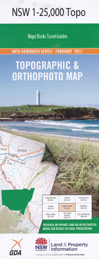
Killoe 1-25,000 NSW Topographic Map
$16.95 – $31.95
Description:
8933-4-S Print on Demand
Locations within this Map
Springvale Willy Wally Hardwyck Glencoe Illogan Beechwood Tallawalla Ranchthe Sunnyside The Rivers Kruilaya Killoe Bon Forest Roscommon Elimata Meriden Neverfail Brooklyn Glendon Rosebank Kurraglen The Hulks Beaufield Tunbridge Bow Creek Bow River Comiala Comiala Flat Councils Creek Flying Billy Creek Goulburn River Goulburn River National Park Green Creek Kangaroo Gully Kellys Gap Carngael Creek Council Creek Ginns Creek Green Arm Creek Killoe Creek Krui River Munmurra Munmurra Brook Munmurra River O’Possum Spring Gully Port Mantle Hill Possum Gully Reedy Creek Sawpit Creek Sawpit Gully Spring Creek Spring Gully Stony Creek Tongo Tongo State Forest Tooloongatta Wollara Dingo Gully Bow Munmurra Creek
| ame: | Killoe |
| Publisher: | New South Wales Government |
| Scale: | 1:25000 |
| Latitude Range: | 32° 7.5′ S – 32° 15.0′ S |
| Longitude Range: | 150° 0.0′ E – 150° 15.0′ E |
| Datum: | GDA 94 |
| Approx Print Size: | 0.56m X 1.11m |
Read More

