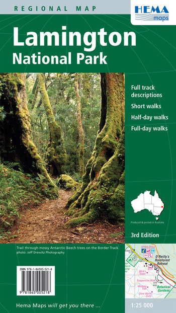
Lamington National Park Map Hema
$14.95
2 in stock
Description:
Lamington National Park Map Hema
Coverage includes the whole of Lamington National Park on the Queensland side of the NSW State border.
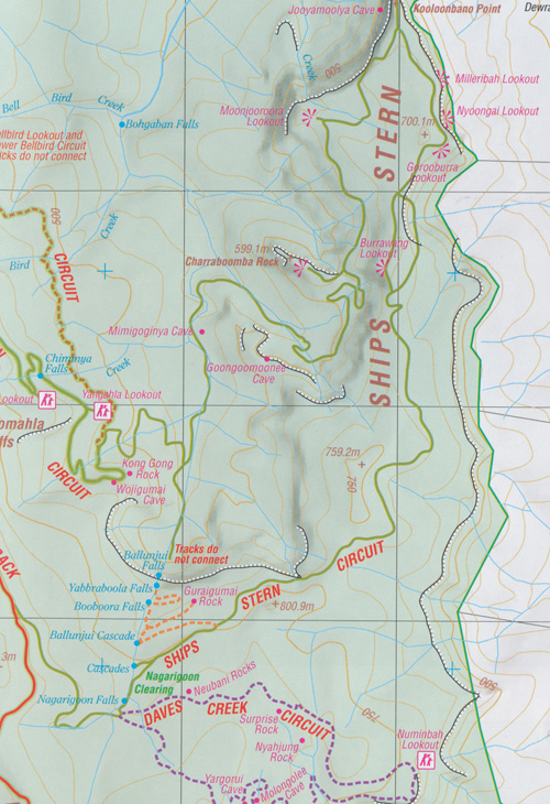
This map at 1:25,000 is an ideal map for hiking through the National Park. Various short walks, half day walks and full day walks have been colour-coded for easy identification. The reverse side has descriptions and track notes for all the highlighted walks.
Hema regional maps have a GPS grid, road distances, camping areas, fuel availability, national parks information, long distance hiking trails and lots more. All roads and tracks within the National Park have been thoroughly field-checked using GPS technology.
ISBN 9781865005218
Scale – 1:25,000
Edition: 3
Published: 2009
Read More
You may also like…
-
Lamington National Park 1-25,000 3 Map Set
Price range: $45.00 through $60.00Select options This product has multiple variants. The options may be chosen on the product page -
Lamington 1-50,000 Book and Topographic Map Set
Price range: $58.00 through $88.00Select options This product has multiple variants. The options may be chosen on the product page