
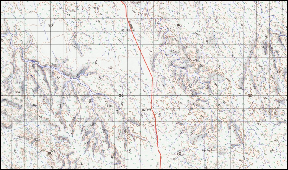
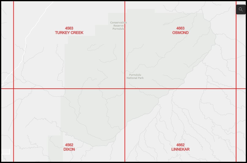
Linnekar 1-100,000 Topographic Map 4662 WA
$14.95
Description:
Linnekar 1-100,000 Topographic Map 4662 WA Print on Demand Edition 1969
Part of the Bungle Bungles
Brook Creek Bucket Hole Yard Chara Rockhole Chara Yard Company Creek South Doughboy Hill Drews Bore Forrest Yard Goose Hole Goosehole Yard J Tank Lees Creek Centre Lees Creek North Lighthouse Rockhole Lighthouse Yard Linacre Creek Linacre Yard Marella Waterhole Mountain Creek Ngiling Anjaru Community Nicholson River No. 9 Bore Ord Hill Purnululu Sugar Bag Yard Tree Hill Wire Creek Lees Creek Main Conacar Creek
| Name: | Linnekar 4662 |
| Publisher: | Geoscience Australia (Australian Government) |
| Scale: | 1:100,000 |
| Latitude Range: | 17° 30.0′ S – 18° 00.0′ S |
| Longitude Range: | 128° 30.0′ E – 129° 0.0′ E |
| Projection / Datum: | Universal Transverse Mercator, GDA94 |
| Approx Print Size: | 0.56m X 0.56m |
| Publication Date: | 1969 |
Read More