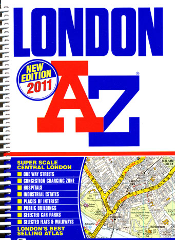
London A-Z Spiral Bound Atlas
Description:
Included is a super-scale street map section of inner London which covers an area extending to Lisson Grove, Marylebone, Euston Station, Clerkenwell, Finsbury, Shoreditch (part), Tower Bridge, Southwark, Lambeth, Vauxhall Bridge, Pimlico, Chelsea and Knightsbridge.
Postcode districts, one-way streets and safety camera locations with their maximum speed limit are featured on the street mapping. The Congestion Charging Zone boundary is featured on both the standard and super-scale street mapping and an overview map of the zone is also featured. A West End Theatre map is featured within the atlas.
The London Connections Map of the railway network for London and the complete London Underground Map are included within the atlas. A central area London Underground Map is featured on the outside back cover.
The index section lists streets, selected flats, walkways and places of interest, place, area and junction names. There are separate index listings for both hospitals, NHS walk-in centres and hospices and for the National Rail, Croydon Tramlink, Docklands Light Railway, London Underground stations and River Bus stops covered by this atlas.
- Spiral-bound: 448 pages
- Language English
- ISBN-10: 1843486032
- ISBN-13: 978-1843486039
- Product Dimensions: 19.3 x 15 x 2 cm
- Edition 2011

