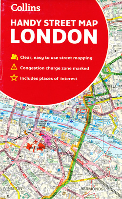
London Handy Street Map Collins
$25.95
2 in stock
Description:
London Handy Street Map Collins
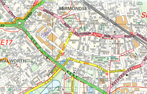
This attractive map, ideal for both tourists and residents, and fully updated, has an extensive area of coverage and displays a wealth of detail.
This map includes:
• New for this edition: Electric car recharging sites
• Fully classified roads
• Congestion charging zone & T-charge (Ultra Low Emission Zone from April 2019)
• Postal districts and boundaries clearly depicted
• Full indexes to street names (on back of map), place names and places of interest
• Fully updated London underground map conveniently located on the back cover
Covers this area:
Extends from Hampstead in the north to Clapham in the south and from Hammersmith in the west to Greenwich in the east.
Scale: 1:17,500 (3.6 inches to 1 mile)
- Publisher : Collins/Times GB; New ed edition (20 February 2019)
- Language : English
- Map : 2 pages
- ISBN-10 : 0008320586
- ISBN-13 : 9780008320584
- Dimensions : 11.43 x 0.76 x 19.05 cm