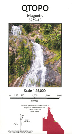
Magnetic 1-25,000 Topographic Map QLD
$15.95 – $30.95
Description:
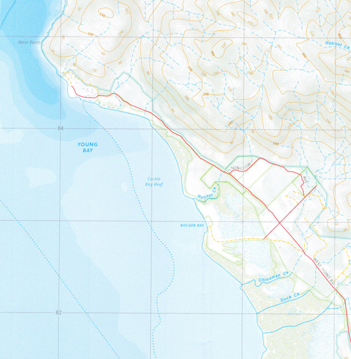
This is the Southern Section of Magnetic Island, you will need Horseshoe Bay and Gowrie to cover the entire Island at this scale. GOWRIE IS NEARLY ALL SEA
Arcadia Bay Horseshoe Bay Nelly Bay Pallarenda Picnic Bay Alma Bay Alma Creek Bolger Bay Bremner Point Bright Point Butlers Creek Chinaman Creek Cockle Bay Coonambelah Duck Creek Eastern Breakwater Geoffrey Bay Gustav Creek Hawkings Point Jimmys Lookout Kissing Point Magnetic Magnetic Island Magnetic Island National Park Many Peaks Range Middle Reef Ned Lee Creek Nobby Head Cape Pallarenda Petersen Creek Retreat Creek Rocky Bay Rowes Bay Sailors Rock Shelly Beach Mount St John Three Mile Creek Virago Shoal West Channel West Point Western Breakwater Whitfield Cove Young Bay Cape Pallarenda Conservation Park Bolger Bay Conservation Park Arcadia Belgian Gardens North Ward Many Peak Range Rose Bay Red Cliff Point Platypus Channel Melton Hill Townsville Harbour Ross Creek Flagstaff Hill Blind Creek Ross River
| Name: | 8259-13 |
| Publisher: | Queensland Government |
| Scale: | 1:25000 |
| Latitude Range: | 19° 7.5′ S – 19° 15.0′ S |
| Longitude Range: | 146° 45.0′ E – 146° 52.5′ E |
| Projection / Datum: | Universal Transverse Mercator, GDA 94 |
| Approx Print Size: | 0.56m X 0.56m |
| Publication Date: | Continuously updated |


