
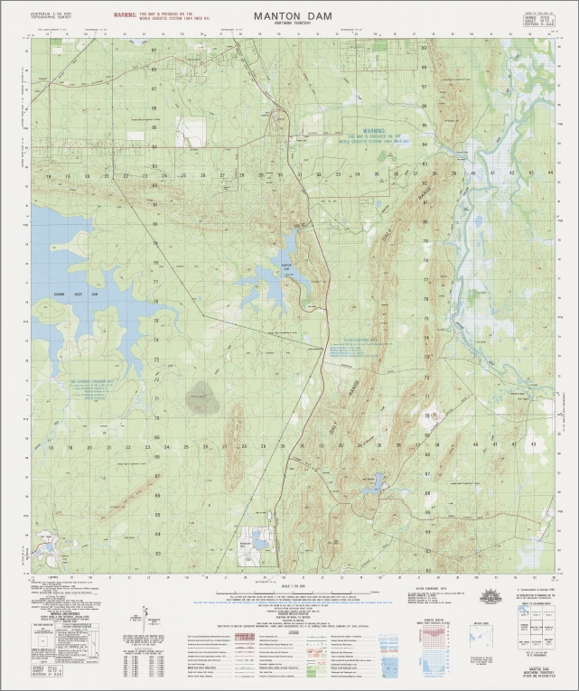

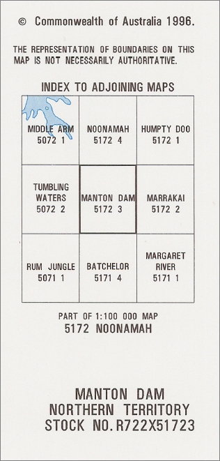
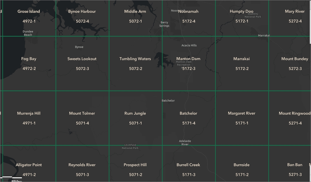
Manton Dam 1-50,000 Topographic Map 5172-3 NT GA
$14.95
Description:
Manton Dam 1-50,000 Topographic Map 5172-3 Northern Territory Geoscience Australia
Print on Demand 1996 Edition
Locations within this Map
Acacia Creek Acacia Gap Acacia Hills Acacia Larrakia Bald Hill Creek Celias Creek Daly Range Darwin River Dam De Monchaux Creek Ella Creek Ettie Creek Fly Creek Giants Reef Goat Island Heathers Lagoons Hundred of Colton Lake Bennett Manton Manton Dam Manton Dam Recreation Area Manton River Otto Creek Owens Lagoon Rum Jungle Southport Siding Stanley Creek Woodcutters Mine Woolnough Reserve Auld Lagoon Aulds Lagoon Heather Lagoon Margaret River
| Name: | Manton Dam |
| Publisher: | Geoscience Australia (Australian Government) |
| Scale: | 1:50,000 |
| Latitude Range: | 12° 45.0′ S – 13° 0.0′ S |
| Longitude Range: | 131° 0.0′ E – 131° 15.0′ E |
| Projection / Datum: | Universal Transverse Mercator, GDA94 or WGS84 |
| Approx Print Size: | 0.56m X 0.56m |
| Publication Date: | 1-Jun-96 |
Read More