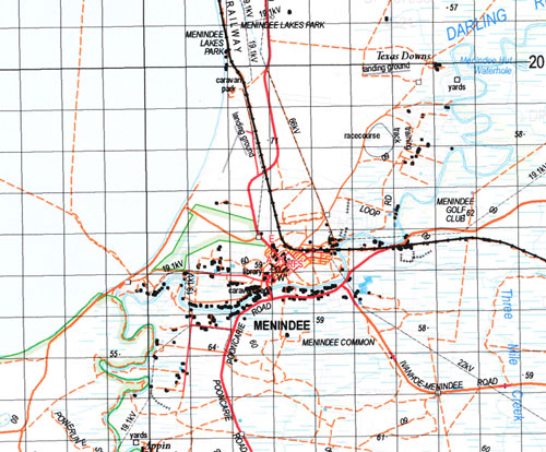
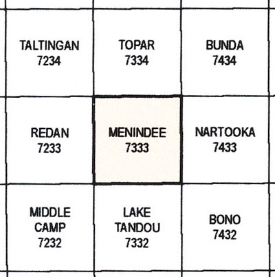
Menindee 1-100,000 NSW Topographic Map
$16.95 – $31.95
Description:
Print on Demand
Locations within this Map
Byrnedale Quarry Hill Scarsdale Munyeroo Wirryilka Kars Haythorpe Texas Downs Appin Leonora Downs Kinchega Bootingee Menindee Sunset Strip Billabong Creek Box Tank Box Tank Railway Station Cawndilla Creek Lake Cawndilla Charlie Stones Creek Copi Hollow Emu Lake Lake Eurobilli The Four Corners Glen Lyon Horse Lake Horse Lake Tank Kinchega National Park Laidleys Ponds Creek Lake Menindee Lookout Menindee Astronomical Station Menindee Hut Waterhole Lake Menindee Menindee Lake Menindee Lakes Park Lake Pamamaroo Pamamaroo Lake Snake Island Lake Spectacle Lake Speculation Speculation Lake The Horse Lake Undeathi Creek Talyawalka Wambah Cawndilla Perry Bellar Hartung Herbert Hume Maiden Mulga Silistria Titabaira Paringi Laidley Laidleys Chain of Ponds Bymedale Yancowinna Creek Long Tank Horse Lake Station Treloars Tank Pamamaroo Yerandah Tank Spectacle Lakes Lake Emu Talyawalka Creek Talyawalka Ana Branch Cawndilla Lake
Part of the Darling River
| Name: | Menindee |
| Publisher: | New South Wales Government |
| Scale: | 1:100000 |
| Latitude Range: | 32° 00.0′ S – 32° 30.0′ S |
| Longitude Range: | 142° 0.0′ E – 142° 30.0′ E |
| Datum: | GDA 94 |


