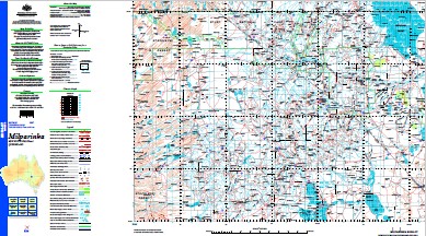
Milparinka 1-250,000 Topographic Map
$15.95 – $27.95
Description:
Milparinka 1-250,000 Topographic Map Geoscience Australia Print on Demand
Fortville House Toona House Warri House Binerah Downs Wompah House Onepah Olive Downs Fort Grey Binerah Well Narcowla White Catch Cottage Whitecatch House Waka Mount King Lake Stewart Horton Park Whitta-Brinnah Pindera Downs Stone Hut Gum Vale Mount Stuart Mount Wood Hewart Downs Mount Sturt Theldarpa Mountain Outstation Mount Poole Yandama Whyjonta Winnathee Hawker Gate House Yandaminta Mount Browne Peak Hill Millring Yantara Brindiwilpa Coally Mount Shannon South Yandaminta South Mount Browne Tibooburra Andrews Creek Arcoola Creek Alpress Tank Allpress Dam Bald Hill Bancannia Waterhole Becks Waterhole Bendigo Creek Blands Waterhole Blairathol Waterhole Black Stump Dam Black Hill Box Creek Box Swamp Creek Box Swamp Watercourse Breakfast Time Swamp Brown Browne Mount Brown Bullagree Swamp Camel Point Caryapundy Swamp Chows Hat Chows Hat Creek MBTG Churriga Waterhole Coally Bore Coally Dam Connia Creek Cooney Creek Cooney Dam Cooney Flat Cooney Waterhole Coxs Creek Cutting Creek Deadmans Creek Dee Dee Creek Depot Glen Easter Monday Creek Eight Mile Creek Eleven Mile Creek Evans Gully Evelyn Creek Fort Grey Basin Frome Swamp Frome Waterhole Fromes Creek Ganya Creek Gidgee Creek Gidya Watercourse Gilgwapla Creek Gilgwapla Lake Gorge Creek Gorge Waterhole Green Creek Grey Range Gum Creek Gununah Jeffreys Flat Kellys Lake Camel Hill Canilla or Mount Brown Creek Cannela Creek Cooney Swamp Gidgea Watercourse Gilgwapla Dam Gilwapla Lake The Gorge Green Gully Gums Creek Kilgerry Creek Kings Creek Lignum Creek Lignum Gully Little Bendigo Creek Mcdonald Peak Mcdonalds Peak Marpoo Creek Middle Swamp Mikes Swamp Millring Tank Milparinka Milparinka Well Moally Apple Creek Moally Apple Swamp Moally Apple Waterhole Mokely Creek Mokely Tank Mokely Waterhole Mount Browne Creek Mount Brown Range Mount Browne Ridge Mount Browne Well Mount Brown Well Mount King Bore Mount Poole Creek Mount Stuart Creek Mount Wood Creek Mount Wood Gorge Mount Wood Hills Mount Wood Range Mount Wood Tank Mudross Swamp Mundilpa Creek Mundilpa Dam Mundilpa Waterhole Narcowla Creek Nockabrinna Waterhole North Warratta Creek North White Well Creek Nuggets Creek Nuggetty Hills Nuggety Creek Nuggety Hill Old Woolshed Creek Old Woolshed Swamp One Mile One Tree Waterhole Ooarnoo Bore Osacca Bore Lake Owen-Smyth Paradise Creek Paratoo Waterhole Peak Ridge The Peak Peak Well Pelsy Flat. The The Piesse Flat Piesy Water Hole Pic Du Faur Piesse Creek Piesse Flat Piesse Waterhole Pig Hole Pinaroo Lake Pindera Swamp Pindera Watercourse Poole Preservation Creek Prospect Creek Punnakunyarra Waterhole Quarry Hill Racecourse Creek Rainbow Rocks Reginald Creek Robbies Waterhole Round Hill Sam Bells Waterhole Scour Waterholes Shannon The Sisters Six Mile Hills Six Mile Waterhole Soldiers Waterhole Sollys Waterhole South Creek South Watercourse Stephens Camp Stewarts Camp Creek Stony Rise Stringers Creek Strzelecki Desert Stud Creek Stumpy Tail Creek Sturt National Park Tabletop Creek Talderry Swamp Taldry Swamp Tarrawonda Creek Terrawinda Creek The Big Plain The Four Mile The Ten Mile Thompsons Dam Thomsons Creek Three Sisters Three Sisters Hills The Three Sisters Tibooburra Bore Tibooburra Creek Tibooburra or Thompsons Creek Tibooburra Public School Tilcha Creek Tinaroo Bore Tinaroo Creek Tindara Tank Tindora Waterhole Tiramina Lake Tongowoko Creek Tuneeilkeree Swamp Turpentine Creek Twelve Mile Creek Two Hills Two Mile Creek Lake Ulenia Wanpah Creek Wanpah Hill Wanpah Waterhole Warratta Bore Warratta Creek Warratta Tank Warri Warri Bore Warri Warri Village Washpool Waterhole The Washpool Waterhole White Lady White Lady Rock White Well Creek Whyjonta Bore Wiemarny Creek Wild Duck Swamp Winconia Creek Wittabreena Creek Wittabrinna Creek Wittabrinna Waterhole Wood Range Yalpunga Tank Yalpunga Village Yandama Creek Yandaminta Creek Yango Creek Yantara Creek Yantara Lake Arm of Yantara Lake Yantara Tank Burtons Creek Alpress Dam Thildya Creek Station Point Pywompa Hill St George Lake Milparinka Dam Tintamertie Waterhole Ding Dong Waterhole Gidgee King Mount Blackwood Orr Paradise Punnyakunya Rocky Glen Scott Blackwood Lang Nantomoko Patterson Pinaroo Stewart Sturt Tindara Binaroo Hermitage Koonyaboothie Olive Silva Tooncurrie Torrens Wanpah Warratta Warri Whittabranah Yalpunga Coallie Gilgwapla Kilpara Tarrawonda Terrawinda Torowoto Wunawunty Essie Milring Yarraba Wirratcha Yarriarraburra Swamp Warri Warri Creek Carruthers Warry Warry Gate Wompah Gate Wompah Onepar McDonalds Peak McDonald Peak Sallys Tank Collins Bore Mount King East Mount King East Station White Catch House Connulpie Yebna Bore Mokely Connulpie Downs Marriearra Butlers Tank Pindara Downs Mount Wood Station Munkartie House Gumvale Mount Stuart Station Mount Sturt Station Kapunda Well Mount Poole Station Tineroo Bore Tinero Artesian Bore Milparin Hawkers Gate House Sisters Tank Lake Yantara Coally Waterhole Morabbie Bore Lignum Tank Glenmore
| Name: | Milparinka |
| Publisher: | Geoscience Australia (Australian Government) |
| Scale: | 1:250,000 |
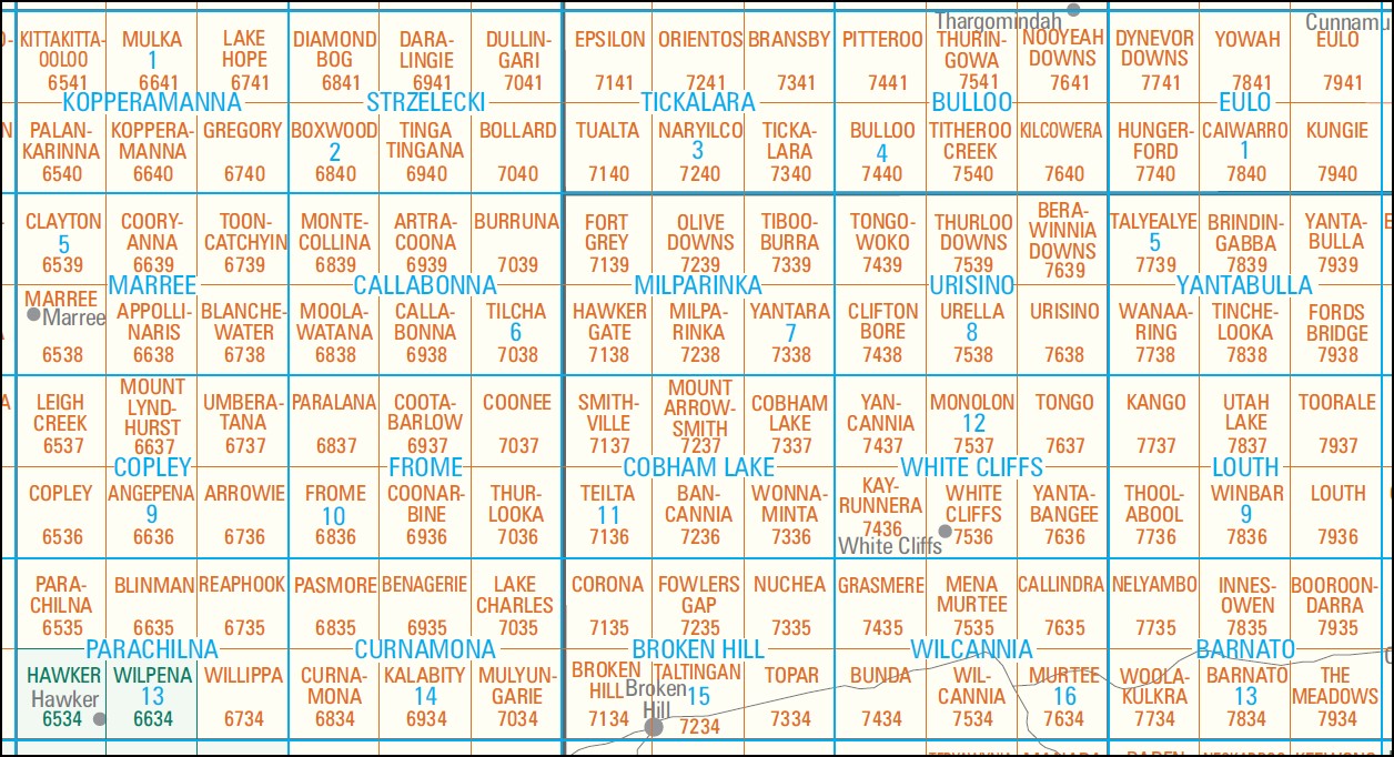
| Latitude Range: | 29° 0.0′ S – 30° 0.0′ S |
| Longitude Range: | 141° 0.0′ E – 142° 30.0′ E |
| Projection / Datum: | Universal Transverse Mercator, GDA94 |
| Approx Print Size: | 0.44m X 0.67m |
| Publication Date: | 1-Jun-02 |
You may also like…
-
Cobham Lake 1-250,000 Topographic Map
$15.95 – $30.95Select options This product has multiple variants. The options may be chosen on the product page -
Milparinka 1-100,000 NSW Topographic Map
$16.95 – $28.95Select options This product has multiple variants. The options may be chosen on the product page -
Callabonna 1-250,000 Topographic Map
$15.95 – $30.95Select options This product has multiple variants. The options may be chosen on the product page -
Tickalara 1-250,000 Topographic Map
$15.95 – $30.95Select options This product has multiple variants. The options may be chosen on the product page


