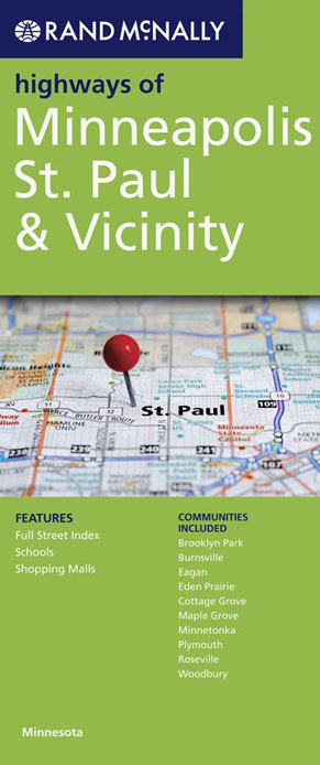
Minneapolis St Paul and Vicinity Map Rand McNally
$17.95
1 in stock
Description:
Rand McNally’s folded map featuring the highways of Minneapolis, St. Paul, and vicinity is a must-have for anyone traveling in and around this part of the state, offering unbeatable accuracy and reliability.
- Regularly updated, full-color maps
- Clearly labeled Interstate, U.S., state, and county highways
- Indications of parks, points of interest, airports, county boundaries, and more
- Easy-to-use legend
- Detailed index
- Convenient folded size
| ISBN | 9780528008832
|
| Coverage Area | Communities include: Brooklyn Park, Burnsville, Eagan, Eden Prairie, Cottage Grove, Maple Grove, Minnetonka, Plymouth, Roseville, Woodbury |
Read More