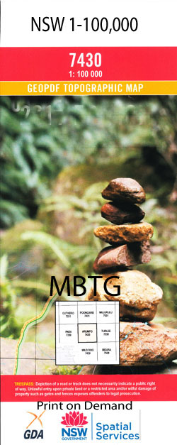
Monolon 1-100,000 NSW Topographic Map
$16.95 – $31.95
Description:
Print on Demand
Locations within this Map
Petita The Range Wattle Vale Willaroy Monolon Myro Glendara Questa Park Mulga Valley Purnanga Bluff Creek Blue Swamp Blue Bush Swamp Boyds Swamp Canegrass Swamp Five Swamps Hilly Vale Creek Erno Creek Part Of Five Swamp Lignum Swamp Mulkowah Creek Mulkowah Hole Mulkowah Waterhole Multara Creek North Creek Purnanga Dam South Creek The Vee Creek Two Mile Swamp Yancannia Creek Yancanya Creek Dicksons Swamp Yencanya Creek Lower Part Of Youltoo Creek Alto Hogarth Morton Questa Yooltoo Bootra Narumerpy Nungo Wattlevale Pultewera Range Hilly Vale
| Name: | Monolon |
| Publisher: | New South Wales Government |
| Scale: | 1:100000 |
| Latitude Range: | 30° 0.0′ S – 30° 30.0′ S |
| Longitude Range: | 143° 0.0′ E – 143° 30.0′ E |
| Datum: | GDA 94 |
| Approx Print Size: | 0.56m X 0.56m |
Read More

