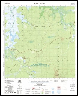
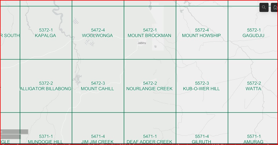
Mount Cahill 1-50000 Topographic Map 5472-3 NT
$14.95 – $26.95
Description:
Mount Cahill 1-50000 Topographic Map 5472-3 NT Print on Demand
Locations within this Map
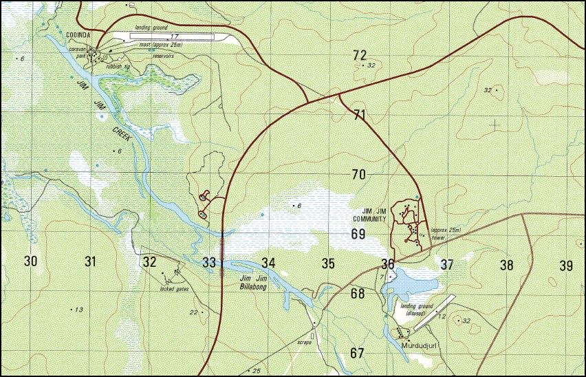
Cooinda Nourlangie Ambarrawarrku Buffalo Farm Djalambawi Jim Jim Creek Jim Jim Waterhole Leichhardt Billabong Malabanbandju Camping Area Mount Basedow Mount Cahill Muriella Park Njininjirr Nourlangie Landing Ground Paradise Farm Patonga Patonga Airstrip Patonga Homestead Red Lily Yellow Waters Nourlangie Creek Baroalba Creek Alligator Billabong
| Name: | Mount Cahill |
| Publisher: | Geoscience Australia (Australian Government) |
| Scale: | 1:50000 |
| Latitude Range: | 12° 45.0′ S – 13° 0.0′ S |
| Longitude Range: | 132° 30.0′ E – 132° 45.0′ E |
| Projection / Datum: | Universal Transverse Mercator, GDA94 or WGS84 |
| Approx Print Size: | 0.56m X 0.56m |
| Publication Date: | 1-Jun-97 |
Read More


