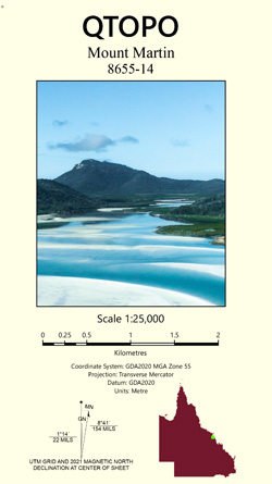
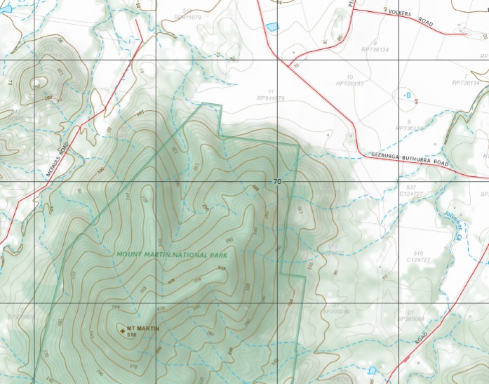
Mount Martin 1-25,000 Topographic Map QLD
$15.95 – $28.95
Description:
Print on Demand
Locations within this Map
Bluff Hill Breakback Gully Mount Burney Mount Castor Cave Creek Cooper Gully Copper Gap Dows Creek Gueyan Hamilton Holmes Gully Langdon Learmonth Gully Mount Martin Moore Creek Narpi Raspberry Creek Mount Roy Splitter Creek Mount Toby Mount Martin National Park Bluff Hill State Forest Macartney Creek Ehsmanns Gap The Pinnacle Coopers Gully Mount Martin Plain
| Name: | Mount Martin 8655-14 |
| Publisher: | Queensland Government |
| Scale: | 1:25000 |
| Latitude Range: | 21° 0.0′ S – 21° 7.5′ S |
| Longitude Range: | 148° 45.0′ E – 148° 52.5′ E |
| Projection / Datum: | Universal Transverse Mercator, GDA 94 |
| Approx Print Size: | 0.56m X 0.56m |
Read More


