Murray River Access Gunbower Island to Murrabit SV
$8.95
3 in stock
Description:
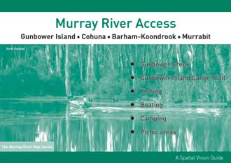
Murray River Access Gunbower Island to Murrabit Spatial Vision
This is the seventh book in the series and features access maps at a scale of 1:25,000 along both sides of the Murray River.
Designed for visitors touring the area, the booklet has information regarding recreation facilities including camping, boating and fishing within NSW and Victorian Parks and Forests, and major walks. This guide has been produced with the support of Golden Rivers Tourism, Department of Sustainability and Environment, Parks Victoria, Forests NSW, and local businesses.
The Murray River Guides are a great way to find the best camping and fishing spots, plan your adventure and make the most of what our great river has to offer.
SCALE: 1:25,000
COVERAGE: Torrumbarry Weir, Gunbower Island, Cohuna, Barham-Koondrook to Murrabit
IDEAL FOR: Bushwalking, Camping, fishing, mountain biking, exploring and car touring
EDITION: 1
SIZE: A4 – 297mm wide by 210mm high. 46 page booklet
ISBN 9781234567897