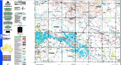
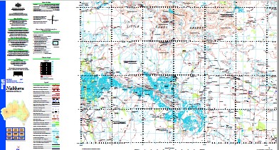
Nabberu 1-250,000 Topographic Map
$15.95 – $30.95
Description:
Print on Demand
Part of the Canning Stock Route Wiluna to HallsCreek
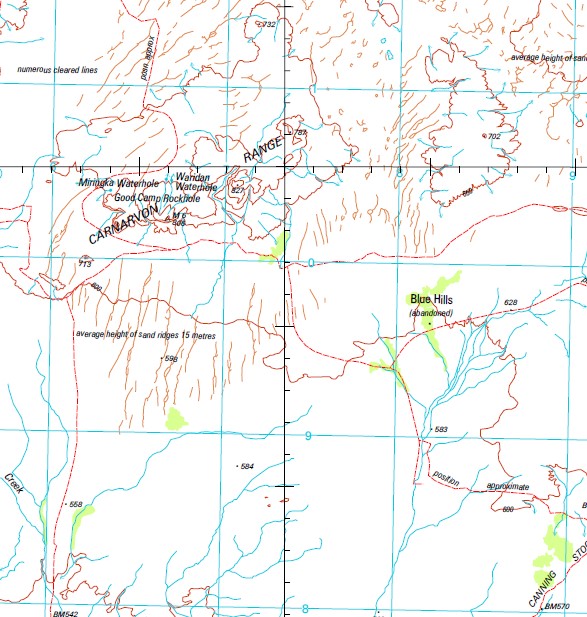
10 Mile Well 21 Well 4 Mile Well 440 Mile Well 6 Mile Well Archies Well Ball Well Bardsley Well Barrell Pool Barry Well Bedford Well Beefwood Well Bill Well Bitter Pool Blue Hills Community Bob Well Boody Hole Well Boundary Bore Bridleface Outcamp Bullock Well Bungarra Well Butler Well Cairn Well Canning Bore Canning Gap Carnarvon Range Cockatoo Well Cohn Hill Conglomerate Well Conical Hill Cookoolah Rockhole Corduroyed Crossing Corktree Bore Corktree Well Corners Well Cunya Woolshed Davidson Well Davis Well Deep Bore Deep Well Derry Bore Dingy Well Division Well Dowd Waterhole Duffer Well Earaheedy Bore Earaheedy Hill Eddie Hill Edment Well Elijah Well Eregan Well Finches Well Forbes Outcamp Forbes Well Frank Well Frere Range Fyfe Well G L Well Garden Well Glen Innes Well Glover Hill Good Camp Rockhole Granite Peak Grasscutter Well Gray Well Half Trig Hill Hawkins Knob Horse Well Howard Well Illyee Pool Ingebong Hills Ironstone Well Ivan Well Ivy Well Jacks Bore Jimmy Well Joe Well Kadyara Waterhole Karri Karri Creek Karri Karri Pool Kennedy Creek Lake Bore Lake Edith Withnell Lake Karri Karri Lake Kerrylyn Lake King Lake Nabberu Lake Talbot Lake Teague Leary Well Levy Well Little Windich Springs Madman Outcamp Marple Well Marymia May Hill Merrie Range Mibbeyean Bore Mibbeyean Creek Mibbeyean Pool Mibbeyean Spring Mibbeyean Well Miringka Waterhole Miss Fairbairn Hills Morans Well Mount Cecil Rhodes Mount Clarence Mount Davis Mount Deverell Mount Lockeridge Mount Methwin Mount Paterson Mount Salvado Mount Teague Munn Well Murgurra Pool Myonga Well Nabberu Well No. 1 Well No. 15 Bore No. 16 Bore No. 17 Bore No. 2 Well No. 25 Bore No. 3 Bore No. 3 Government Well No. 3a Government Well No. 4 Government Well No. 5 Government Well No. 5 Well No. 6 Bore No. 6 Government Well No. 7 Bore No. 7 Government Well No. 8 Government Well No. 9 Well Odgard Well Outcamp Well Oxbys Well Paddy Well Pierre Spring Pope Well Quadrios Well Quartz Well Sandalwood Well Scotty Well Seymour Well Shepherd Well Simpson Well Snell Pass Snowy Well Station Hill Sullivan Well Sweeney Creek Sweetwaters Well Tabimaya Well Tahrybabba Spring Thompson Well Tong Creek Troy Creek Verschuer Range Virgin Springs Waridan Waterhole Welcome Native Well West Pope Bore White Well Willow Well Willy Willy Bore Windich Springs Woodgate Spring Wooroberdinner Native Well Wynn Bore Wy-Uda Creek Yamada Waterhole Yampi Well Welcome Well The Miss Fairbairn Hills Wooroberdinner Well Wanarairy Cockoolah Rockhole Windich Spring Popes Well Biller Pool Six Mile Well Six Mile Pool Verscher Range The Long Creek The Long New Springs
| Name: | Nabberu |
| Publisher: | Geoscience Australia (Australian Government) |
| Scale: | 1:250000 |
| Latitude Range: | 25° 0.0′ S – 26° 0.0′ S |
| Longitude Range: | 120° 0.0′ E – 121° 30.0′ E |
| Projection / Datum: | Universal Transverse Mercator, GDA94 |
| Approx Print Size: | 0.44m X 0.67m |
| Publication Date: | 1-Jun-03 |


