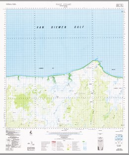
Point Stuart 1-100,000 Topographic Map
$14.95
Description:
PRINT ON DEMAND
Locations within this Map
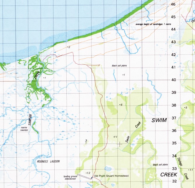
Alligator Head Alligator Lagoon Boiling Water Springs Chambers Bay Damoger Dead Fish Billabong Joans Creek Kens Bay Lousy Creek Majirli Mary River Mordy Island Mosquito Creek Old Point Stuart Homestead Pam Creek Point Stuart Pozivil Creek Rogers Bay Roonees Lagoon Sampan Creek Shady Camp Stuarts Tree Stuart’s Tree Historical Reserve Swim Creek Swim Creek Conservation Reserve Swim Creek Plain Swim Creek Plains Swim Creek Plains Landing Ground The Narrows Thrings Creek Tommycut Creek Stuart Point Stuarts Tree Historical Reserve Wildman River Alligator Heads
| Name: | Point Stuart |
| Publisher: | Geoscience Australia (Australian Government) |
| Scale: | 1:100000 |
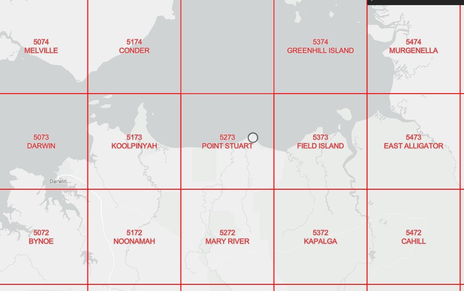
| Latitude Range: | 12° 0.0′ S – 12° 30.0′ S |
| Longitude Range: | 131° 30.0′ E – 132° 0.0′ E |
| Projection / Datum: | Universal Transverse Mercator, GDA94 |
| Approx Print Size: | 0.56m X 0.56m |
| Publication Date: | 1979 |
pasting
Read More


