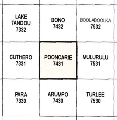
Pooncarie 1-100,000 NSW Topographic Map
$16.95 – $31.95
Description:
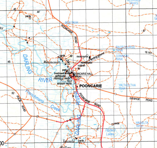
The Pooncarie 1-100,000 NSW topographical map covers major part of the Mungo National Park.
Locations within this Map
Wyoming Eulo Menincourt Birdwood Mallara Tarcoola Wonga ruins Reedy Point Akuna Minda Carstairs Creek Frenchmans Creek Mitfords Corner Numbuccurra Tank Numbucurra Tank Numbucurra Waterholes Nambucurra Water Holes Numbuccurra Waterholes Pooncarie Pooncarie Public School Village of Pooncaira Porters Lakes The Port Wandella Tank Dugout Tank Bilbarka Park Farrell Park Mungo Tank Pooncarie Pioneers Memorial Park Pooncaira Bell Burke Darchy Enid Euchla Harley Howitt King Mapenny Mooloolerie Mueller Mungo Nanda Nelia Pombra Welsh Wills Mitchell Tarmoola Moorara Nanda Tank Midfords Corner Tank Box Sweep Tank Mushroom Tank Sand Tanks Burrie
Part of the Darling River
| Name: | Pooncarie |
| Publisher: | New South Wales Government |
| Scale: | 1:100000 |
| Latitude Range: | 33° 00.0′ S – 33° 30.0′ S |
| Longitude Range: | 142° 30.0′ E – 143° 0.0′ E |
| Datum: | GDA 94 |
Print on Demand


