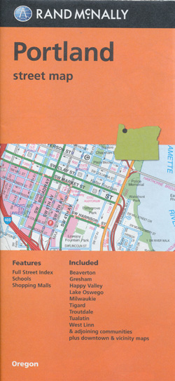
Portland Street Map Rand McNally
$17.95
1 in stock
Description:
Portland Street Map Rand McNally
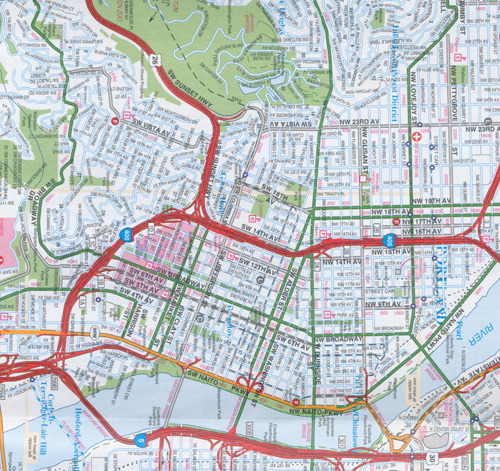
Rand McNally’s folded map for Portland is a must-have for anyone traveling in and around this part of Oregon, offering unbeatable accuracy and reliability at a great price. Our trusted cartography shows all Interstate, U.S., state, and county highways, along with clearly indicated parks, points of interest, airports, county boundaries, and streets.
The easy-to-use legend and detailed index make for quick and easy location of destinations. You’ll see why Rand McNally folded maps have been the trusted standard for years. • Regularly updated. • Full-color maps. • Clearly labeled Interstate, U.S., state, and county highways. • Indications of parks, points of interest, airports, county boundaries, downtown & vicinity maps. • Major attractions & Golf Courses. • Easy-to-use legend. • Detailed index & Major Street Index. • Convenient folded size.
Coverage Area Communities Included: Beaverton, Gresham, Happy Valley, Lake Oswego, Milwaukie, Tigard, Troutdale, Tualatin, West Linn and adjoining communities plus downtown vicinity
- Publisher : Rand McNally (25 May 2022)
- Language : English
- Map : 1 pages
- ISBN-10 : 070609007823
- ISBN-13 : 9780528007828
- Dimensions : 10.41 x 1.02 x 22.35 cm