
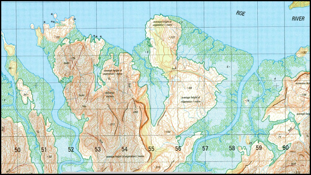

Prince Frederick 1-50,000 Topo Map 3967-1 WA
$15.95
Description:
Prince Frederick 1-50,000 Topo Map 3967-1 WA Print on Demand
Locations within this Map
Hunter River Kumpanapirra Creek Kuringna Mariawala Falls Marun Mount Brookes Naturalists Beach Naturalists Island Prince Frederick Harbour Roe River Tanpanmirri Island
| Name: | Prince Frederick 3967-1 |
| Publisher: | Geoscience Australia (Australian Government) |
| Scale: | 1:50,000 |
| Latitude Range: | 15° 00.0′ S – 15° 15.0′ S |
| Longitude Range: | 125° 15.0′ E – 125° 30.0′ E |
| Projection / Datum: | Universal Transverse Mercator, GDA94 or WGS84 |
| Approx Print Size: | 0.56m X 0.56m |
| Publication Date: | 1-Jun-02 |
Read More