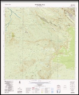
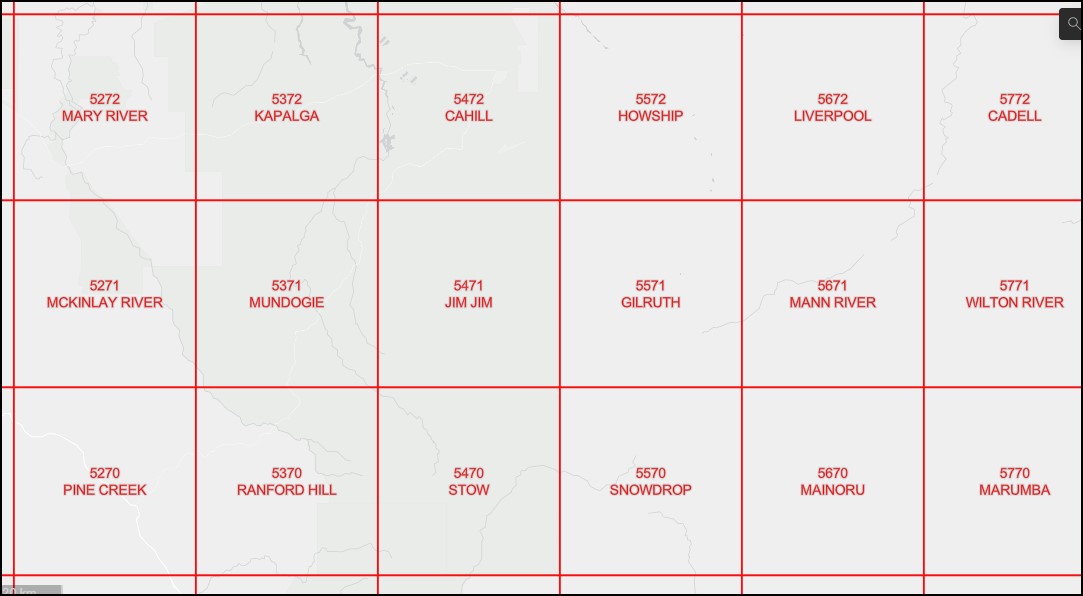
Ranford Hill 1-100,000 Topographic Map 5370 NT
$14.95 – $26.95
Description:
Ranford Hill 1-100,000 Topographic Map 5370 NT Print on Demand
Locations within this Map
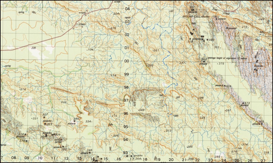
Aston Hill Bells Mine Billiatt Springs Black Angel Black Mountain Bloomfield Springs Bowerbird Creek Callanan Claypan Coronet Hill Crest Of The Wave Mine Dinner Creek Divide Creek Douglas Springs Eureka Creek Eva Spring Evelyn Evelyn Creek Gertrude Springs Harriet Creek Kurrundie Creek Little Mary River Lukmorem Mary River Junction Mine Mc Carthy Hill Mc Carthys Moline Moline Dam Moline Golf Course Motor Car Creek Mount Callanan Mount Daniels Mount Davis Mount Diamond Mine Mount Gardiner Mountain View Mine Nellie Creek O’Neil Creek Plum Tree Creek Ranford Billabong Ranford Creek Ranford Hill Silver Spray Table Land Tent Hill Thompson Creek Two Sisters Vulcan Mine Walter Spring Wandie Mine Wells Springs Wolfram Creek Wolfram Hill Goodparla Little Mary Creek ONiel Creek Mount Daniel Gertrude Spring Walters Spring Wells Spring Mount Diamond Bloomfield Spring McCarthy Hill Douglas Spring Black Mount
| Name: | Ranford Hill |
| Publisher: | Geoscience Australia (Australian Government) |
| Scale: | 1:100000 |
| Latitude Range: | 13° 30.0′ S – 14° 00.0′ S |
| Longitude Range: | 132° 0.0′ E – 132° 30.0′ E |
| Projection / Datum: | Universal Transverse Mercator, GDA94 |
| Approx Print Size: | 0.56m X 0.56m |
| Publication Date: | 1979 |


