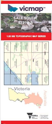
SALE SOUTH 1-25,000 Vicmap Topo Map 8321-4-S
$14.00 – $26.00
Description:
SALE SOUTH 1-25,000 Vicmap Topographic Map 83214S Now Print On Demand is used for Walking, 4WD, Fishing, Camping, Motorcycle, both On and Off Road, Gold Prospecting and for those simply going for a family weekend drive.
This is a new series of 1-25,000 scale maps, all of Victoria is now covered by these maps, including maps over the South Australian and NSW Borders.
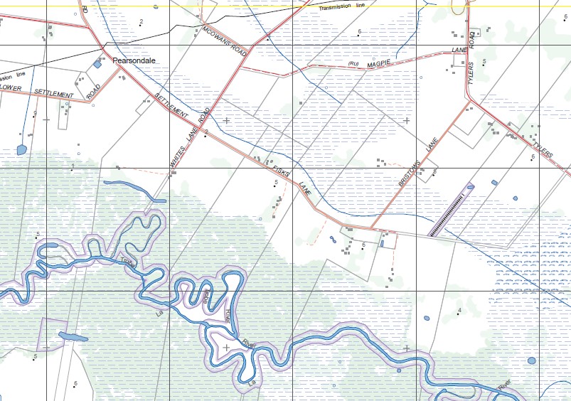
Topographical maps show not only Contours of the Terrain but Walking Tracks, Sealed and Unsealed Roads, Rivers, Creeks, Lakes, Historical Points of Interest, Old Mine Sites mbtg and National and State Park areas.
Main Features of this map includes:
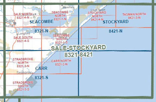
Now also covers the old series maps Longford and Dutson
Dutson, Longford, Pearsondale, La Trobe River, HOLEY PLAINS State Park, SALE COMMON NCR, Longford Gas Plants, SALE CAMPING RESERVE GLR, ANDREW BAY – GREBE BAY GLR, DOWD MORASS WR, LAKE COLEMAN, RAAF EAST SALE COMMONWEALTH AREA, THE DARDENELLES GLR, part of LAKE WELLINGTON