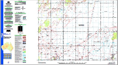
Seemore 1-250,000 Topographic Map
$15.95 – $30.95
Description:
Print on Demand
Locations within this Map
50 Mile Claypan Alexander Well Annettes Well Anniversary Bore Black Ridge Dam Brittania Tanks Centre Corner Tank Chriton Well Dallas Well Dead Sheep Tank Diviners Tank Doggers Tank Downers Tank Endeavour Bore Fergies Tank Gunnadorrah H K Tank Honeymoon Tank Kanandah Kennedy Tank Kinclaven Kittel Bore Lavarack Well Leo Well Mayled Dam Muriel Bore Naretha No. 1 Bore Native Willow Bore No. 10 Bore No. 11 Bore No. 11a Bore No. 13 Bore No. 2 Bore No. 24 Bore No. 4 Bore No. 4 Tank No. 48 Tank No. 5 Bore No. 5a Bore No. 6 Bore Peter Well Pink Eye Corner Tank Pinnacles Tanks Premier Downs Rawlinna Reprieve Dam Sally Bore Sandalwood Tank Scrubby Tank Seemore Downs Sitora Well Skylab Well Snake Gully Well Snowden Well Sundown Tank Terry Dam Yellowtail Bore Fifty Mile Claypan Fifty Mile Clayhole Yellowtail Rockhole Old Soldiers Corner Tank Limestone Rockhole
| Name: | Seemore |
| Publisher: | Geoscience Australia (Australian Government) |
| Scale: | 1:250000 |
| Latitude Range: | 30° 0.0′ S – 31° 0.0′ S |
| Longitude Range: | 124° 30.0′ E – 126° 0.0′ E |
| Projection / Datum: | Universal Transverse Mercator, GDA94 |
| Approx Print Size: | 0.44m X 0.67m |
| Publication Date: | 1-Jun-02 |


