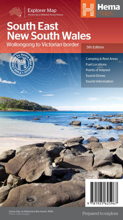
South East New South Wales Map Hema Ed 5
$15.95
14 in stock
Description:
South East New South Wales Map Hema Ed 5
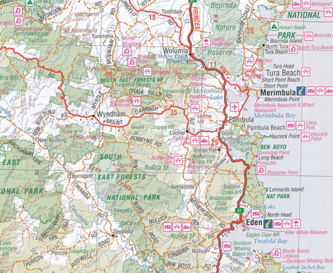
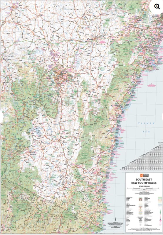
A regional map of South East New South Wales (1:385,000) that ranges from Wollongong down to the Victoria border and out to Gundagai and past Jindabyne in the West. Covered regions in the map include; Illawarra, Jervis Bay & Shoalhaven, Batemans Bay, Canberra & surrounds, Merimbula & Sapphire Coast, Southern Highlands, Goulburn Region and the Snowy Mountains. On the opposite side is extensive information on numerous regions, including visitor, historical and background information.
Key Features
- Comprehensive map of South East New South Wales
- Camping & rest areas
- Fuel locations
- Tourist drives
- Detailed National Park Listing with facilities
- Tourist Information Centres
Edition: 5th
Publication Date: 12/9/2021
Scale: 1:385,000
Folded size (WxHxD): 140mm x 250mm x 3mm
Flat size (WxH): 700mm x 1000mm
ISBN 9781925625967
Read More
You may also like…
-
Merimbula Bermagui Adventure Map Rooftop
Price range: $12.95 through $25.00Select options This product has multiple variants. The options may be chosen on the product page -
Wilderness Coast Map Bemm River to Pambula
Price range: $15.95 through $25.95Select options This product has multiple variants. The options may be chosen on the product page -
Far East Victoria Southern NSW Flat Map
Price range: $15.95 through $27.95Select options This product has multiple variants. The options may be chosen on the product page -
South Coast New South Wales Flat Map
Price range: $15.95 through $27.95Select options This product has multiple variants. The options may be chosen on the product page -
South Coast NSW Far Eastern Victoria Poster Large
Price range: $30.00 through $40.00Select options This product has multiple variants. The options may be chosen on the product page