
South Palmer River 1-100,000 QLD 7765
$14.95
Description:
South Palmer River 1-100,000 QLD 7765 Print on Demand Edition 1980
Locations within this Map
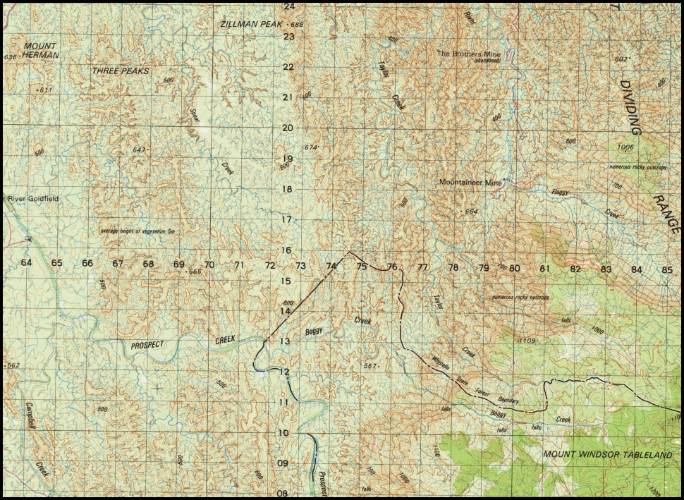
Amy Mount Amy Boggy Creek Byerstown Campbell Creek Cartwright Creek Cyclone Creek Desailly Creek Mount Desailly Doughboy Creek Mount Elephant Flaggy Creek Flat Creek Gorge Creek Hamilton Peak Hurricane Creek Kangkirr Falls Koobaba Lang Creek Level Creek Maitland Downs Munker Nangee Nobbys Water Facility Piccaninny Creek Mount Pike Prospect Creek Racecourse Creek Racecourse Mountain Rocky St George Creek South Palmer River Spring Creek Springhill Talgijah Taylor Creek Ten Mile Creek Tin Creek Tullah Uhrstown White Creek Whumbal Whypalla Kangkirr Creek Desailly Maddens Flat Mine Mount Herman Three Peaks Zillman Peak Dianne Mine Mountaineer Mine Palmer River Goldfield Adams Mine The Granite Mount Windsor Tableland Mareeba Curraghmore
| Name: | South Palmer River |
| Publisher: | Geoscience Australia (Australian Government) |
| Scale: | 1:100,000 |
| Latitude Range: | 16° 0.0′ S – 16° 30.0′ S |
| Longitude Range: | 144° 30.0′ E – 145° 0.0′ E |
| Projection / Datum: | Universal Transverse Mercator, GDA94 |
| Approx Print Size: | 0.56m X 0.56m |
| Publication Date: | 1980 |
You may also like…
-
Maytown 1-100,000 Topographic Map QLD
Price range: $15.95 through $30.95Select options This product has multiple variants. The options may be chosen on the product page -
South Palmer River 1-100,000 Topo Map 7865 QLD
Price range: $15.95 through $30.95Select options This product has multiple variants. The options may be chosen on the product page -
Maytown 1-100,000 Queensland
Price range: $14.95 through $29.95Select options This product has multiple variants. The options may be chosen on the product page