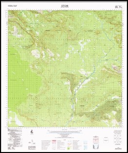
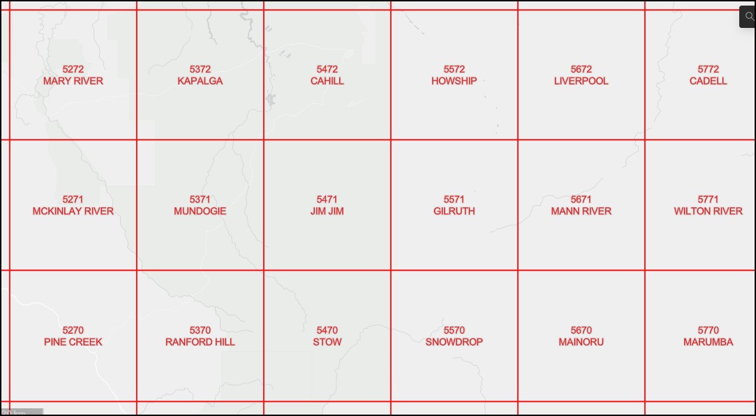
Stow 1-100,000 Topographic Map 5470 NT
$14.95 – $26.95
Description:
Stow 1-100,000 Topographic Map 5470 NT Print on Demand
Locations within this Map
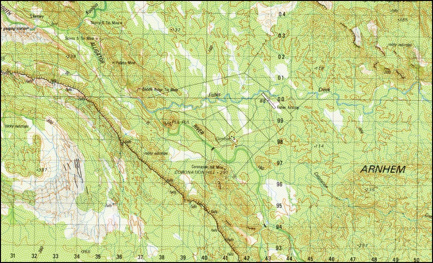
Big Sunday Birdie Creek Coronation Creek Coronation Hill Coronation Hill Mine Earley Hill El Sharana Tin Mine Elsherana Mining Camp Fisher Airstrip Fisher Creek Fisher Head Gimbat Gimbat Creek Keckwick Spring Koolpin Creek Kurrundie Creek Mount Ebsworth Mount Evelyn Mount Lambell Mount Stow Ngartluk Billabongs Ngartluk Hill Nidenbam Pallete Mine Pul Pul Saddle Ridge Mine Scinto 5 Mine Scinto 6 Tin Mine Sleisbeck Sleisbeck Mine Sleizbeck Landing Ground Stag Creek Turnoff Creek Zamu Creek Zamu Creek Mine Scinto Six Tin Mine Scinto Five Mine Keckwick Springs Mount Esworth Snake Creek
| Name: | Stow |
| Publisher: | Geoscience Australia (Australian Government) |
| Scale: | 1:100000 |
| Latitude Range: | 13° 30.0′ S – 14° 00.0′ S |
| Longitude Range: | 132° 30.0′ E – 133° 0.0′ E |
| Projection / Datum: | Universal Transverse Mercator, GDA94 |
| Approx Print Size: | 0.56m X 0.56m |
| Publication Date: | 1985 |
Read More


