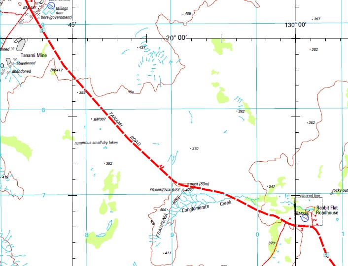
Tanami Road Topographic Map Set
$140.00
Description:
The Tanami Road 1-250.000 Topographic Map Set consists of 10 map covering the Road from Alice Spring to Halls Creek
Maps Included:-
Alice Springs to 20 km West of the town
Hermannsburg Kunoth Bore to New Well Queens Bore
Napperby New Well Rembrandt Rock to Pollards Hole Dam
Mount Doreen Pollards Hole Boundary Bore to Mount Doreen
Mount Theo Floodout Bore to Refrigerator Bore
Mount Solitaire Only 25-30km across the bottom West Side of the map
The Granites Numerous Gravel Pits to The Granites Mine to Rabbit Flat Roadhouse to Mount Tanami Rock Hole
Tanami The Tanami Rockhole and Mine to West for 50km
Billiluna The NT and WA Border to Stuart Creek and Mindibungu past the Wolfe Creek Meteorite turn off to Astro Waterhole
Gordon Downs From the Astro Waterhole north to the Great Northern Highway and on to Halls Creek
Search each map individually for greater information on each map. The maps are sold separately.

