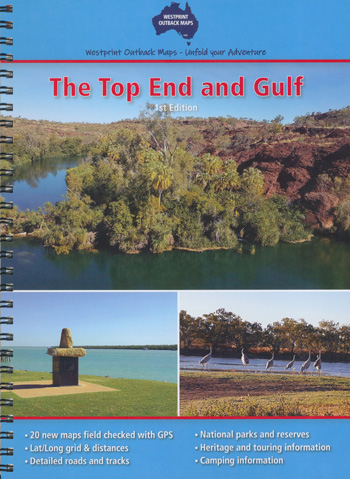
The Top End and Gulf Westprint
$29.95
1 in stock
Description:
The Top End and Gulf Westprint
A brand new style of map booklet by Westprint.
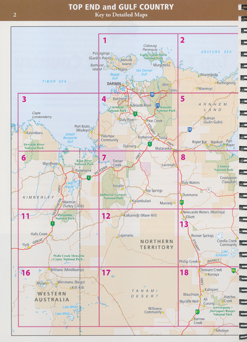
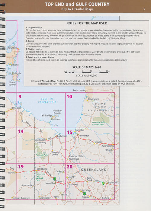
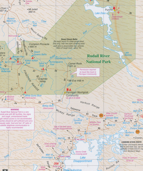
The Top End and Gulf Atlas covers the area from Croydon and Julia Creek in Queensland across to Wyndam & Halls Creek in Western Australia. 20 new double page maps in a spiral bound book. Over 30 pages of heritage and touring information. Over 70 numbered points of interest. Covers all the major tourist routes through this area.
ISBN: 9781875608447
ISBN-10: 1875608443
Series: Westprint Outback Maps
Format: Laminated Cover on Book
Language: English
Number Of Pages: 72
Published: 1st January 2022
Publisher: Westprint
Country of Publication: AU
Dimensions (cm): 25.0 x 18.5 x 0.5
Weight (kg): 0.21
Edition Number: 1
Read More